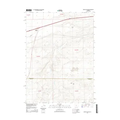
2015 Map of Creston Junction
USGS Topo · Published 2015About this map
Creston Junction marks a significant intersection of transportation and terrain in high-altitude Wyoming. Situated near the Sweetwater Co Carbon Co line, this area is defined by its transition from the continental divide's rolling landscape to distinct geographic markers like Cherokee Hill in the north and the twin rises of Cow Butte and Horse Butte to the south. The drainage of Fillmore Cr weaves through the central part of the quadrangle, illustrating the subtle hydrology of this arid region. The convergence of modern infrastructure and legacy routes is evident where Creston Rd meets the primary east-west corridor of Interstate 80 and U.S. Route 30. This survey provides a precise view of the Bureau of Land Management township and range system that organized this portion of the American West.
Find a feature on this map
16 named features on this map. Tap any name to fly to it.
Don’t see what you’re looking for? This feature index may not catch every label — zoom into the map to look around manually.
Map Details
Editions of this 2015 Creston Junction Map
This is the sole edition of this map. No revisions or reprints were ever made.
Other maps of this area

1954 · Rawlins
USGS Topo · 1:250,000

1958 · Rawlins
USGS Topo · 1:250,000

1962 · Rawlins
USGS Topo · 1:250,000

1966 · Jawbone Ranch
USGS Topo · 1:24,000

1966 · Creston Junction
USGS Topo · 1:24,000

1966 · Seaverson Reservoir
USGS Topo · 1:24,000

1966 · Riner
USGS Topo · 1:24,000

1966 · Creston
USGS Topo · 1:24,000

1966 · High Point
USGS Topo · 1:24,000

1966 · Fillmore Ranch
USGS Topo · 1:24,000