
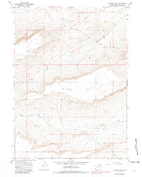
1966 Map of Jawbone Ranch
USGS Topo · Published 1969About this map
Jawbone Ranch sits at the heart of this high-desert landscape in Sweetwater County, serving as a primary landmark for a region defined by its utilitarian infrastructure and drainage systems. The survey identifies critical water management features like a Well and several corrals, highlighting the area's history as a working livestock range. The terrain is dominated by the broad prominence of Windy Hill, which overlooks a series of erosion-carved channels including Buck Draw and Creston Draw.
Find a feature on this map
8 named features on this map. Tap any name to fly to it.
Don’t see what you’re looking for? This feature index may not catch every label — zoom into the map to look around manually.
Map Details
Editions of this 1966 Jawbone Ranch Map
2 editions found
Other maps of this area

1954 · Rawlins
USGS Topo · 1:250,000

1958 · Rawlins
USGS Topo · 1:250,000

1960 · Hansen Lake NE
USGS Topo · 1:24,000

1960 · Larsen Knoll
USGS Topo · 1:24,000

1960 · Buck Draw
USGS Topo · 1:24,000

1962 · Rawlins
USGS Topo · 1:250,000

1966 · Creston Junction
USGS Topo · 1:24,000

1966 · Riner
USGS Topo · 1:24,000

1966 · Creston
USGS Topo · 1:24,000
1966 · Antelope Spring
USGS Topo · 1:24,000