
1960 Map of Buck Draw
USGS Topo · Published 1962About this map
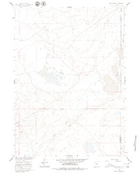
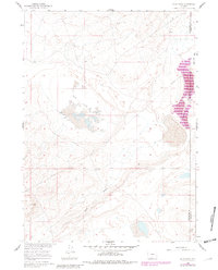
Mud Lake Flats and the nearby Mahoney Lakes define this high-desert basin along the border of Sweetwater and Carbon counties. Surveyed as part of a development program for the Missouri River Basin, the map illustrates a landscape shaped by intermittent water and industrial utility. A prominent Pipeline cuts across the northern terrain, signaling the mid-century expansion of energy infrastructure through the Wyoming backcountry. The topography is anchored by Buck Draw and the broad Separation Flats, while survey markers like Vabm Hope and Vabm Range provide precise reference points for this high-elevation plateau. This survey offers a clear view of the region's transition into a modern resource-extraction corridor during the early 1960s.
Find a feature on this map
8 named features on this map. Tap any name to fly to it.
Don’t see what you’re looking for? This feature index may not catch every label — zoom into the map to look around manually.
Map Details
Editions of this 1960 Buck Draw Map
3 editions found
Other maps of this area

1954 · Rawlins
USGS Topo · 1:250,000

1955 · Casper
USGS Topo · 1:250,000

1956 · Rawlins Peak
USGS Topo · 1:62,500

1958 · Rawlins
USGS Topo · 1:250,000

1958 · Casper
USGS Topo · 1:250,000

1960 · Larsen Knoll
USGS Topo · 1:24,000

1960 · Separation Rim
USGS Topo · 1:24,000

1960 · Bull Springs
USGS Topo · 1:24,000

1960 · Chicken Spring
USGS Topo · 1:24,000

1962 · Rawlins
USGS Topo · 1:250,000