
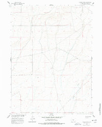
1960 Map of Chicken Spring
USGS Topo · Published 1962About this map
Chicken Spring and its surrounding high-desert terrain define this area of Sweetwater County, mapped as part of the Missouri River Basin development program. The landscape is primarily shaped by the drainage patterns of Spring Creek and Stewart Creek, which cut through the high plains. Human activity in this arid environment is centered on vital water sources and livestock management, as evidenced by the Hadsell Corral and North Well. The presence of these specific ranching landmarks suggests the map's value for tracing early land use and pastoral history in the Wyoming interior. This 1960 field-checked survey provides a precise look at the township and range lines that organized the territory, offering a clear record of the infrastructure used by ranchers and surveyors before modern development altered the remote corridor.
Find a feature on this map
8 named features on this map. Tap any name to fly to it.
Don’t see what you’re looking for? This feature index may not catch every label — zoom into the map to look around manually.
Map Details
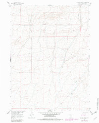
Editions of this 1960 Chicken Spring Map
3 editions found
Other maps of this area

1954 · Rawlins
USGS Topo · 1:250,000

1955 · Casper
USGS Topo · 1:250,000

1958 · Rawlins
USGS Topo · 1:250,000

1958 · Casper
USGS Topo · 1:250,000

1960 · Hansen Lake NE
USGS Topo · 1:24,000

1960 · Sooner Reservoir
USGS Topo · 1:24,000

1960 · Larsen Knoll
USGS Topo · 1:24,000

1960 · Bull Springs
USGS Topo · 1:24,000

1960 · Buck Draw
USGS Topo · 1:24,000
1961 · Osborne Well
USGS Topo · 1:24,000