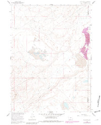
1960 Map of Buck Draw
USGS Topo · Published 1981About this map
Mahoney Lakes and the arid terrain of the Continental Divide define this expansive landscape on the border of Sweetwater and Carbon Counties. Surveyed for the development of the Missouri River Basin, the topography reveals a remote and sparsely settled region characterized by ephemeral water features and broad alluvial plains. The distinctive basins of Mud Lake Flats and Separation Flats dominate the central and eastern portions of the map, illustrating the high-desert drainage patterns typical of this Wyoming interior. In the southern half of the quadrangle, the winding path of Buck Draw provides a clear landmark for those tracing old pack trails or early boundary lines across these high basins.
Find a feature on this map
5 named features on this map. Tap any name to fly to it.
Don’t see what you’re looking for? This feature index may not catch every label — zoom into the map to look around manually.
Map Details
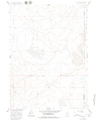
Editions of this 1960 Buck Draw Map
3 editions found
Other maps of this area

1954 · Rawlins
USGS Topo · 1:250,000

1955 · Casper
USGS Topo · 1:250,000

1956 · Rawlins Peak
USGS Topo · 1:62,500

1958 · Rawlins
USGS Topo · 1:250,000

1958 · Casper
USGS Topo · 1:250,000

1960 · Larsen Knoll
USGS Topo · 1:24,000

1960 · Separation Rim
USGS Topo · 1:24,000

1960 · Bull Springs
USGS Topo · 1:24,000

1960 · Buck Draw
USGS Topo · 1:24,000

1960 · Chicken Spring
USGS Topo · 1:24,000