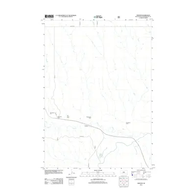
2012 Map of Creston
USGS Topo · Published 2012About this map
Creston occupies a central position within this Pennington County landscape, situated near the confluence where Rapid Cr meets the winding Cheyenne River. The terrain is defined by a series of significant drainage features and family-named landmarks that speak to the ranching and agricultural history of the region. Notable topographic features include Swinehart Hill and its associated Swinehart Draw, alongside Van Lone Draw, Dipping Vat Draw, and Day Brown Draw. The grid of section lines is marked by several established routes such as Creston Rd, Base Line Rd, and Sharpe Rd, which facilitate movement through this prairie environment. This survey provides a clear view of the water distribution and land divisions in the early twenty-first century, showing the physical layout of the community and the natural waterways that dictate the local geography.
Find a feature on this map
13 named features on this map. Tap any name to fly to it.
Don’t see what you’re looking for? This feature index may not catch every label — zoom into the map to look around manually.
Map Details
Editions of this 2012 Creston Map
This is the sole edition of this map. No revisions or reprints were ever made.
Other maps of this area

1953 · New Underwood
USGS Topo · 1:24,000

1953 · Folsom
USGS Topo · 1:24,000

1953 · Caputa NE
USGS Topo · 1:24,000

1953 · Rapid City
USGS Topo · 1:250,000

1954 · Scenic
USGS Topo · 1:24,000

1954 · Owanka
USGS Topo · 1:24,000

1954 · Creston
USGS Topo · 1:24,000

1954 · Scenic SW
USGS Topo · 1:24,000

1954 · Brennan Flat
USGS Topo · 1:24,000

1955 · Hot Springs
USGS Topo · 1:250,000