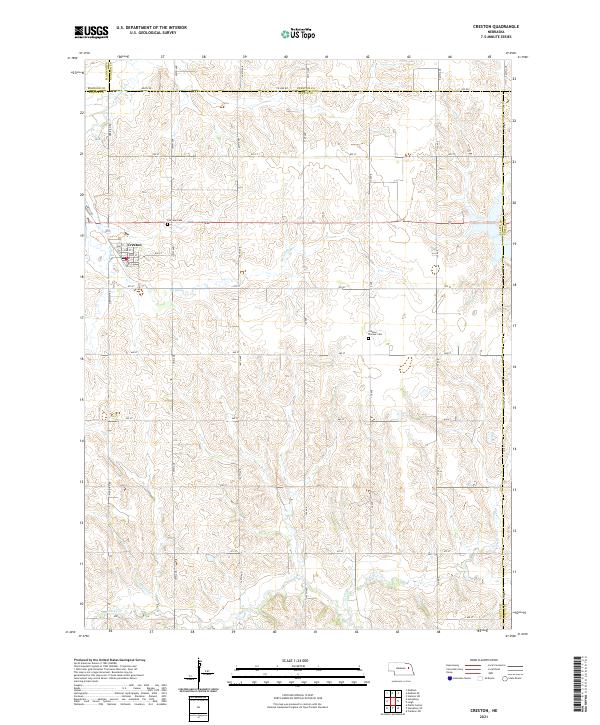
2021 Map of Creston
USGS Topo · Published 2021About this map
Creston serves as the primary hub of this eastern Nebraska landscape, situated near the intersection of several county boundaries. The township structure is clearly defined by a grid of rural roads like Co Line Rd and Co Rd 1, which partition the land between Platte, Madison, Stanton, and Colfax counties. This network of thoroughfares connects the outlying farmsteads to the village center, where local streets such as Oak ST and Pine St organize the community.
Find a feature on this map
42 named features on this map. Tap any name to fly to it.
Don’t see what you’re looking for? This feature index may not catch every label — zoom into the map to look around manually.
Map Details
Editions of this 2021 Creston Map
This is the sole edition of this map. No revisions or reprints were ever made.
Other maps of this area

1955 · Fremont
USGS Topo · 1:250,000

1957 · Fremont
USGS Topo · 1:250,000

1958 · Fremont
USGS Topo · 1:250,000

1963 · Madison
USGS Topo · 1:24,000

1963 · Madison SE
USGS Topo · 1:24,000

1966 · Clarkson SW
USGS Topo · 1:24,000

1966 · Platte Center
USGS Topo · 1:24,000

1966 · Humphrey SE
USGS Topo · 1:24,000

1966 · Creston
USGS Topo · 1:24,000
1966 · Stanton SW
USGS Topo · 1:24,000