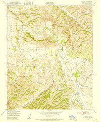
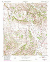
1948 Map of Creston
USGS Topo · Published 1952About this map
Creston and the surrounding ranchlands of San Luis Obispo County are defined by the winding course of Huerhuero Creek in this late 1940s landscape. The settlement patterns reflect a rural economy centered on water access and early transportation routes like Shandon Road and Bakersfield Road. Small community hubs are visible at Linne and the Geneseo Sch, while the presence of a Pumping Station near the confluence of the Middle Branch, West Branch, and East Branch suggests the vital importance of irrigation and water management in this Mediterranean climate.
Find a feature on this map
15 named features on this map. Tap any name to fly to it.
Don’t see what you’re looking for? This feature index may not catch every label — zoom into the map to look around manually.
Map Details
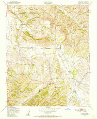
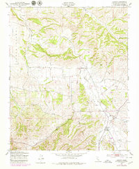
Editions of this 1948 Creston Map
5 editions found
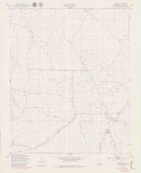
Other maps of this area

1897 · San Luis Obispo
USGS Topo · 1:62,500

1900 · San Luis
USGS Topo · 1:125,000

1914 · Cholame
USGS Topo · 1:125,000

1915 · Cholame
USGS Topo · 1:125,000

1917 · Cholame
USGS Topo · 1:125,000

1919 · Paso Robles
USGS Topo · 1:62,500

1922 · Pozo
USGS Topo · 1:62,500

1942 · San Luis Obispo
USGS Topo · 1:62,500
1943 · Shandon
USGS Topo · 1:31,680

1943 · Paso Robles
USGS Topo · 1:62,500