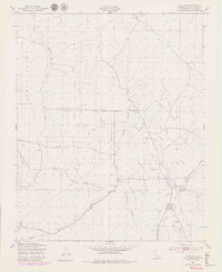
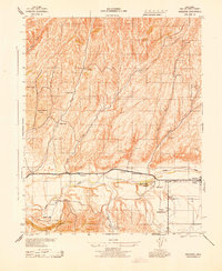
1948 Map of Creston
USGS Topo · Published 1980About this map
Creston serves as the primary hub in this rural landscape within San Luis Obispo County, surveyed just after the war in the late 1940s. The settlement pattern is defined by the winding course of Huerhuero Creek, which is fed by the West Branch, Middle Branch, and East Branch. The land use of the era is evidenced by numerous Windmills scattered across the Santa Ysabel and Asuncion land grants, alongside a specific Oil well and a Pumping Station indicating local industrial activity. Educational and community infrastructure is represented by the Geneseo Sch and a local Cem, providing essential points of reference for genealogists. The presence of extensive Telephone Lines and Pipe Lines cutting across the creek beds shows the mid-century modernization of this agricultural interior.
Find a feature on this map
18 named features on this map. Tap any name to fly to it.
Don’t see what you’re looking for? This feature index may not catch every label — zoom into the map to look around manually.
Map Details
Editions of this 1948 Creston Map
5 editions found
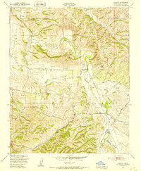
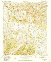
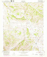
Other maps of this area

1897 · San Luis Obispo
USGS Topo · 1:62,500

1900 · San Luis
USGS Topo · 1:125,000

1914 · Cholame
USGS Topo · 1:125,000

1915 · Cholame
USGS Topo · 1:125,000

1917 · Cholame
USGS Topo · 1:125,000

1919 · Paso Robles
USGS Topo · 1:62,500

1922 · Pozo
USGS Topo · 1:62,500

1942 · San Luis Obispo
USGS Topo · 1:62,500
1943 · Shandon
USGS Topo · 1:31,680

1943 · Paso Robles
USGS Topo · 1:62,500