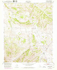
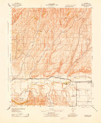
1948 Map of Creston
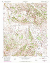
USGS Topo · Published 1980About this map
Huerhuero Creek meanders through the central valley of this San Luis Obispo County landscape, defining the local geography as it flows toward the small settlement of Creston. The terrain is characterized by the prominent ridges of Santa Ysabel and Asuncion, which frame a territory of scattered rural landmarks. Traces of mid-century infrastructure are visible throughout the region, including an extensive Pipe Line and a Pumping Station near the southern edge of the survey. The community of Creston serves as a local hub where the Middle Branch and East Branch converge. Further north, the Geneseo Sch stands as a focal point for the surrounding homesteads, connected by an early Telephone Line that follows the creek bed and valley floor, illustrating the sparse but organized settlement pattern of the late 1940s.
Find a feature on this map
11 named features on this map. Tap any name to fly to it.
Don’t see what you’re looking for? This feature index may not catch every label — zoom into the map to look around manually.
Map Details
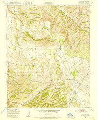
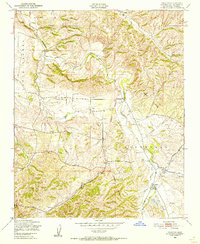
Editions of this 1948 Creston Map
5 editions found
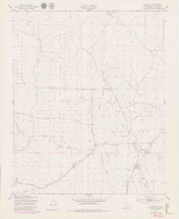
Other maps of this area

1897 · San Luis Obispo
USGS Topo · 1:62,500

1900 · San Luis
USGS Topo · 1:125,000

1914 · Cholame
USGS Topo · 1:125,000

1915 · Cholame
USGS Topo · 1:125,000

1917 · Cholame
USGS Topo · 1:125,000

1919 · Paso Robles
USGS Topo · 1:62,500

1922 · Pozo
USGS Topo · 1:62,500

1942 · San Luis Obispo
USGS Topo · 1:62,500
1943 · Shandon
USGS Topo · 1:31,680

1943 · Paso Robles
USGS Topo · 1:62,500