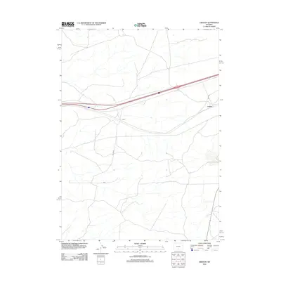
2012 Map of Creston
USGS Topo · Published 2012About this map
Creston and Latham sit along the high plains corridor of southern Wyoming in this 2012 survey. The landscape is defined by the critical east-west transportation artery of Interstate 80, which cuts across the high desert terrain. Two primary local routes, Latham Rd and Creston Rd, provide access to these remote rail and road points. The map illustrates a sparse settlement pattern characteristic of this region, where geography is dominated by vast open spaces and ephemeral drainage patterns rather than dense town centers. It captures the essential infrastructure that supports the logistics and travel across the Continental Divide area of the state.
Find a feature on this map
4 named features on this map. Tap any name to fly to it.
Don’t see what you’re looking for? This feature index may not catch every label — zoom into the map to look around manually.
Map Details
Editions of this 2012 Creston Map
This is the sole edition of this map. No revisions or reprints were ever made.
Other maps of this area
1954 · Rawlins
USGS Topo · 1:250,000
1958 · Rawlins
USGS Topo · 1:250,000
1962 · Rawlins
USGS Topo · 1:250,000
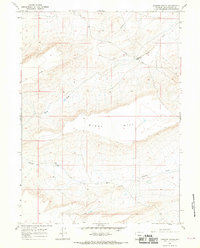
1966 · Jawbone Ranch
USGS Topo · 1:24,000
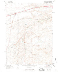
1966 · Creston Junction
USGS Topo · 1:24,000
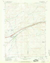
1966 · Wamsutter
USGS Topo · 1:24,000
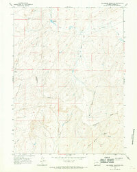
1966 · Seaverson Reservoir
USGS Topo · 1:24,000
1966 · Monument Lake
USGS Topo · 1:24,000
1966 · Creston
USGS Topo · 1:24,000
1966 · High Point
USGS Topo · 1:24,000