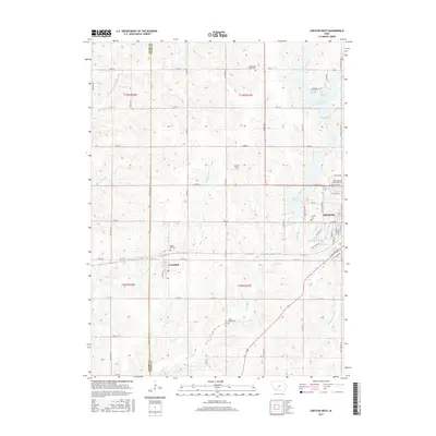
2015 Map of Creston West
USGS Topo · Published 2015About this map
Cromwell and the western edge of Creston anchor this 2015 survey of the undulating Iowa landscape across the Adams and Union County line. The terrain is defined by a dense network of watercourses, including the Platte River, West Platte River, and Middle Platte River, which carve through the agricultural grid. These waterways feed significant local reservoirs such as Summit Lake and Green Valley Lake, which provide a distinct contrast to the surrounding section lines and rural farm roads.
Find a feature on this map
63 named features on this map. Tap any name to fly to it.
Don’t see what you’re looking for? This feature index may not catch every label — zoom into the map to look around manually.
Map Details
Editions of this 2015 Creston West Map
This is the sole edition of this map. No revisions or reprints were ever made.
Other maps of this area

1954 · Omaha
USGS Topo · 1:250,000

1955 · Nebraska City
USGS Topo · 1:250,000

1957 · Nebraska City
USGS Topo · 1:250,000

1957 · Omaha
USGS Topo · 1:250,000

1958 · Omaha
USGS Topo · 1:250,000

1958 · Nebraska City
USGS Topo · 1:250,000

1980 · Lenox
USGS Topo · 1:24,000

1980 · Nevinville
USGS Topo · 1:24,000

1980 · Creston East
USGS Topo · 1:24,000
1980 · Prescott
USGS Topo · 1:24,000