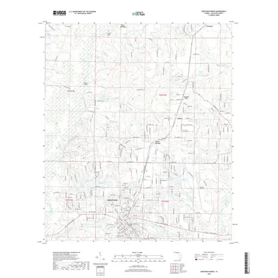
2018 Map of Crestview North
USGS Topo · Published 2018About this map
Crestview sits at the heart of this North Florida landscape, where the confluence of several small watercourses like Mathison Creek and Powell Spring Branch drain toward the Yellow River. The map reveals a dense suburban network of residential streets and cul-de-sacs that have expanded into the pinewoods, yet several distinct outlying settlements remain identifiable, including Silver Springs, Auburn, and Garden City. North of the city, the terrain is defined by the winding paths of Silver Creek and Tidwell Mill Creek, leading toward the prominence of Tucker Bluff. Genealogical and local history points are well-represented, from the Live Oak Cemetery in the center of town to the aviation infrastructure at Bob Sikes Airport and the historical crossing near Hudson Island.
Find a feature on this map
264 named features on this map. Tap any name to fly to it.
Don’t see what you’re looking for? This feature index may not catch every label — zoom into the map to look around manually.
Map Details
Editions of this 2018 Crestview North Map
This is the sole edition of this map. No revisions or reprints were ever made.
Other maps of this area

1934 · Holt
USGS Topo · 1:48,000

1934 · Niceville
USGS Topo · 1:48,000

1936 · Niceville
USGS Topo · 1:62,500

1937 · Holt
USGS Topo · 1:62,500

1949 · Crestview
USGS Topo · 1:62,500

1949 · Laurel Hill
USGS Topo · 1:62,500

1950 · Laurel Hill
USGS Topo · 1:62,500

1951 · Crestview
USGS Topo · 1:62,500

1956 · Niceville
USGS Topo · 1:62,500

1956 · Holt
USGS Topo · 1:62,500