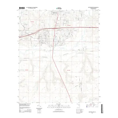
2015 Map of Crestview South
USGS Topo · Published 2015About this map
Crestview serves as the focal point of this North Florida landscape, where the southern reaches of the city meet the riparian corridor of the Shoal River. The map illustrates the expansion of the community through a dense network of residential streets such as Antioch Rd and Pioneer Rd, contrasting with the more fluid natural drainages of the Pearl Cr and Juniper Cr. These waterways feed into the river, creating a complex hydrologic system characterized by unique local features like Clyde Reese Pond, Dugan Pond, and the curiously named Lost Boy Pond.
Find a feature on this map
135 named features on this map. Tap any name to fly to it.
Don’t see what you’re looking for? This feature index may not catch every label — zoom into the map to look around manually.
Map Details
Editions of this 2015 Crestview South Map
This is the sole edition of this map. No revisions or reprints were ever made.
Other maps of this area

1934 · Holt
USGS Topo · 1:48,000

1934 · Niceville
USGS Topo · 1:48,000

1936 · Niceville
USGS Topo · 1:62,500

1937 · Holt
USGS Topo · 1:62,500

1949 · Crestview
USGS Topo · 1:62,500

1949 · Laurel Hill
USGS Topo · 1:62,500

1950 · Laurel Hill
USGS Topo · 1:62,500

1951 · Crestview
USGS Topo · 1:62,500

1956 · Niceville
USGS Topo · 1:62,500

1956 · Holt
USGS Topo · 1:62,500