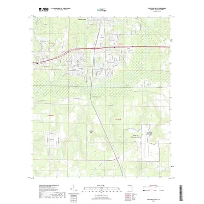
2018 Map of Crestview South
USGS Topo · Published 2018About this map
The Shoal River corridor dominates this southern portion of Crestview, separating the residential expansion of the city from the vast military reservations to the south. The northern reaches show a developing suburban landscape with new thoroughfares such as P J Adams Pkwy and Riverchase Blvd reaching toward the river. To the south, the landscape shifts abruptly into the restricted terrain of Eglin AFB, where the primary features are strategic installations and natural watercourses.
Find a feature on this map
129 named features on this map. Tap any name to fly to it.
Don’t see what you’re looking for? This feature index may not catch every label — zoom into the map to look around manually.
Map Details
Editions of this 2018 Crestview South Map
This is the sole edition of this map. No revisions or reprints were ever made.
Other maps of this area

1934 · Holt
USGS Topo · 1:48,000

1934 · Niceville
USGS Topo · 1:48,000

1936 · Niceville
USGS Topo · 1:62,500

1937 · Holt
USGS Topo · 1:62,500

1949 · Crestview
USGS Topo · 1:62,500

1949 · Laurel Hill
USGS Topo · 1:62,500

1950 · Laurel Hill
USGS Topo · 1:62,500

1951 · Crestview
USGS Topo · 1:62,500

1956 · Niceville
USGS Topo · 1:62,500

1956 · Holt
USGS Topo · 1:62,500