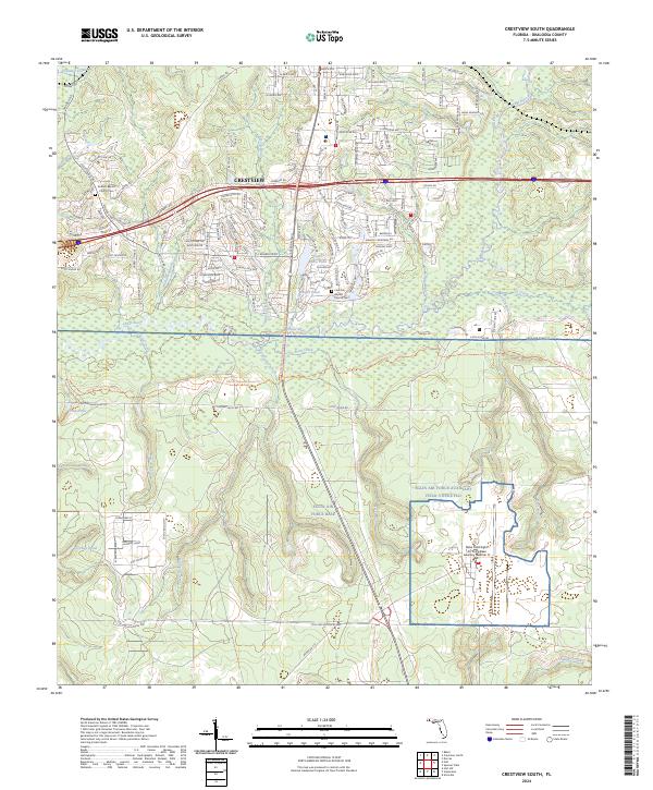
2024 Map of Crestview South
USGS Topo · Published 2024About this map
The Crestview area south of the main city center serves as a vital corridor between urban growth and the expansive military reservation of Eglin Air Force Base. This transition is marked by the presence of Duke Field, where the industrial layout of runways and auxiliary facilities meets the natural drainage of Turkey Hen Creek and Pearl Creek. The landscape is defined by the winding course of the Shoal River, which separates the more densely patterned residential streets from the forested lands to the south.
Find a feature on this map
154 named features on this map. Tap any name to fly to it.
Don’t see what you’re looking for? This feature index may not catch every label — zoom into the map to look around manually.
Map Details
Editions of this 2024 Crestview South Map
This is the sole edition of this map. No revisions or reprints were ever made.
Other maps of this area

1934 · Holt
USGS Topo · 1:48,000

1934 · Niceville
USGS Topo · 1:48,000

1936 · Niceville
USGS Topo · 1:62,500

1937 · Holt
USGS Topo · 1:62,500

1949 · Crestview
USGS Topo · 1:62,500

1949 · Laurel Hill
USGS Topo · 1:62,500

1950 · Laurel Hill
USGS Topo · 1:62,500

1951 · Crestview
USGS Topo · 1:62,500

1956 · Niceville
USGS Topo · 1:62,500

1956 · Holt
USGS Topo · 1:62,500