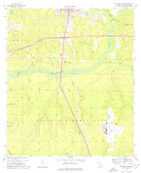
1973 Map of Crestview South
USGS Topo · Published 1976About this map
The Shoal River corridor dominates the center of this Okaloosa County landscape, marking the transition between the growing southern edge of Crestview and the expansive military reservation to the south. During the early 1970s, the northern portion of the map shows a community in development, characterized by several claypits and sandpits, the Crestview Country Club, and social markers like the Friendship Ch and a Drive-in Theater. The southern half is defined by the northern reaches of Eglin Air Force Base, where the landscape shifts from private holdings to military infrastructure.
Find a feature on this map
51 named features on this map. Tap any name to fly to it.
Don’t see what you’re looking for? This feature index may not catch every label — zoom into the map to look around manually.
Map Details
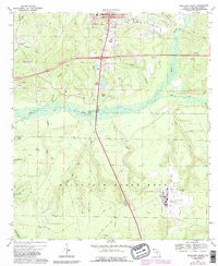
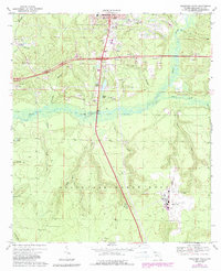
Editions of this 1973 Crestview South Map
3 editions found
Other maps of this area

1934 · Holt
USGS Topo · 1:48,000

1934 · Niceville
USGS Topo · 1:48,000

1936 · Niceville
USGS Topo · 1:62,500

1937 · Holt
USGS Topo · 1:62,500

1949 · Crestview
USGS Topo · 1:62,500

1949 · Laurel Hill
USGS Topo · 1:62,500

1950 · Laurel Hill
USGS Topo · 1:62,500

1951 · Crestview
USGS Topo · 1:62,500

1956 · Niceville
USGS Topo · 1:62,500

1956 · Holt
USGS Topo · 1:62,500