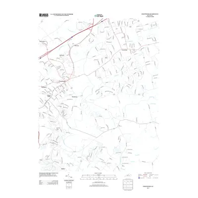
2013 Map of Crestwood
USGS Topo · Published 2013About this map
The Confederate Cem and Pewee Valley Cem highlight the local commemorative landscape south of Crestwood, where suburban development meets the established rural history of Jefferson and Oldham counties. This 2013 survey shows a sophisticated network of subdivisions and bypasses, such as the Hwy-329 Byp, woven into a topography defined by the drainage systems of Floyds Fork and its numerous tributaries. These waterways, including Currys Fork and Ashers Run, have historically shaped the settlement patterns of towns like Floydsburg and Glenarm. The map also captures specialized land uses like the Woodledge Farm Airport near Beckley. Genealogical interest is particularly high in the southeastern quadrant, where the Long Run Cem sits near Long Run, and at Pleasant Hill Cem located between Centerfield and Ashers Run.
Find a feature on this map
242 named features on this map. Tap any name to fly to it.
Don’t see what you’re looking for? This feature index may not catch every label — zoom into the map to look around manually.
Map Details
Editions of this 2013 Crestwood Map
This is the sole edition of this map. No revisions or reprints were ever made.
Other maps of this area

1905 · Prospect
USGS Topo · 1:62,500

1907 · Louisville
USGS Topo · 1:62,500

1912 · Prospect
USGS Topo · 1:62,500

1929 · Taylorsville
USGS Topo · 1:62,500

1932 · La Grange
USGS Topo · 1:62,500

1938 · Owen
USGS Topo · 1:24,000

1948 · Owen
USGS Topo · 1:24,000

1951 · Anchorage
USGS Topo · 1:24,000

1951 · Crestwood
USGS Topo · 1:24,000

1951 · Jeffersontown
USGS Topo · 1:24,000