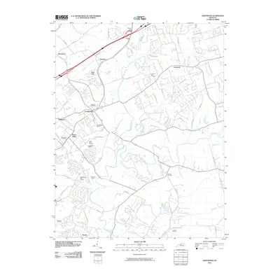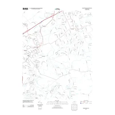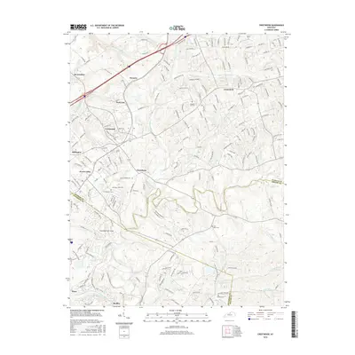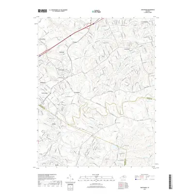
2022 Map of Crestwood
USGS Topo · Published 2022About this map
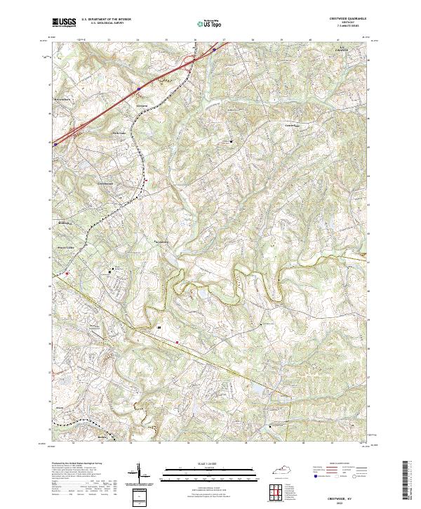
Crestwood serves as the central hub of this modern survey, where the suburban development of Oldham and Jefferson counties meets the traditional landscape of the Kentucky Bluegrass region. The map documents a dense network of residential growth radiating from historic crossroads like Pewee Valley and Floydsburg. Despite this expansion, the area's heritage remains visible through its numerous burial grounds, including the Confederate Cem and Flat Rock Cem. The terrain is defined by the winding course of Floyds Fork and its many tributaries, such as Currys Fork and Ashers Run, which carve through the Persimmon Ridge area. This document captures the transition of formerly rural hamlets like Centerfield and Beckley into the contemporary outskirts of the Louisville metropolitan area, providing a detailed record of current road networks including I-71 and KY 146.
Find a feature on this map
39 named features on this map. Tap any name to fly to it.
Don’t see what you’re looking for? This feature index may not catch every label — zoom into the map to look around manually.
Map Details
Editions of this 2022 Crestwood Map
This is the sole edition of this map. No revisions or reprints were ever made.
Historical Maps of Louisville Through Time
9 maps found