Loading...
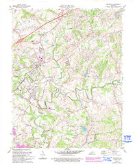
Loading map...1981 Map of Crestwood
USGS Topo · Published 1994About this map
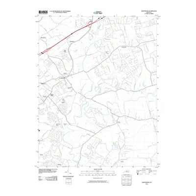
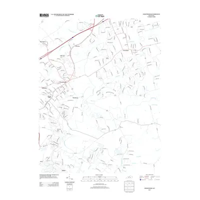
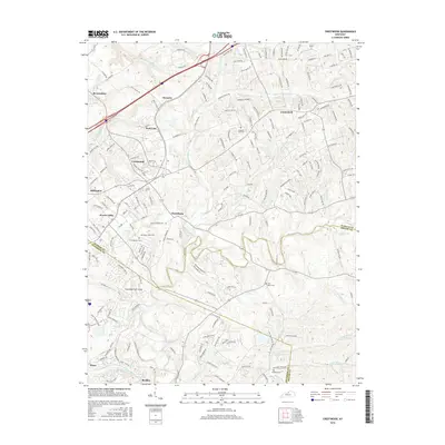
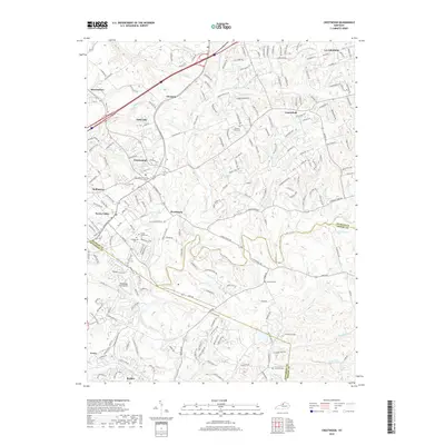
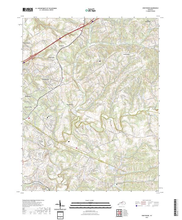
The rolling hills of Oldham and Jefferson Counties meet at the Louisville and Nashville railroad corridor, which serves as the spine for local development. This landscape is defined by the winding course of Floyds Fork and its tributaries, such as Currys Fork and Ashers Run. Historically significant sites are concentrated near the rail line, including the established community of Pewee Valley and the Confederate Cem.
Find a feature on this map
56 named features on this map. Tap any name to fly to it.
Don’t see what you’re looking for? This feature index may not catch every label — zoom into the map to look around manually.
Map Details
Date Portrayed1981
Date Published1994
PublisherU.S. Geological Survey
Map TypeTopographic
Scale1:24,000
Physical Dimensions22.4 x 27 inches
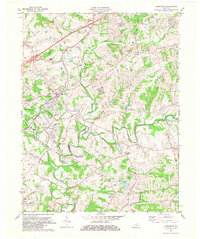
Editions of this 1981 Crestwood Map
2 editions found
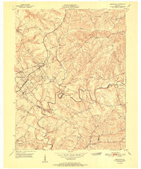
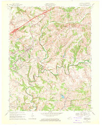
Historical Maps of Louisville Through Time
9 maps found

Featured Locations
Source Details
SourceU.S. Geological Survey
CopyrightPublic Domain