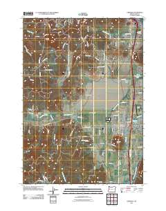
2011 Map of Creswell
USGS Topo · Published 2011About this map
Creswell and Goshen define the northern and central corridors of this 2011 survey, situated along the Coast Fork Willamette River south of Eugene. The landscape transitions from the residential and agricultural flatlands of Camas Swale to the rising elevations of Spencer Butte and Creswell Butte. The community of Creswell is centered on the Creswell Post Office and nearby Hobby Field, with intricate water features like the Tunnel Millrace and Garden Lake marking the town's industrial and recreational history.
Find a feature on this map
85 named features on this map. Tap any name to fly to it.
Don’t see what you’re looking for? This feature index may not catch every label — zoom into the map to look around manually.
Map Details
Editions of this 2011 Creswell Map
This is the sole edition of this map. No revisions or reprints were ever made.
Other maps of this area

1910 · Eugene
USGS Topo · 1:62,500

1921 · Cottage Grove
USGS Topo · 1:62,500

1935 · Lowell
USGS Topo · 1:96,000

1940 · Eugene
USGS Topo · 1:62,500

1942 · Lowell
USGS Topo · 1:125,000

1946 · Eugene
USGS Topo · 1:62,500

1949 · Eugene
USGS Topo · 1:62,500

1950 · Marcola
USGS Topo · 1:62,500

1952 · Marcola
USGS Topo · 1:62,500

1953 · Salem
USGS Topo · 1:250,000