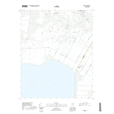
2019 Map of Creswell
USGS Topo · Published 2019About this map
The Scuppernong River winds through the northern reaches of this coastal plain landscape, providing a natural contrast to the rigid geometry of the drainage network to the south. Small settlements like Creswell and Cherry serve as local hubs, connected by a series of long-standing rural routes such as Newland Rd and Holland Rd. The southern portion of the map is dominated by the northern shoreline of Phelps Lake, where the land transition is managed by an extensive system of man-made waterways including the Moccasin Canal, Tenfoot Canal, and Thirty Foot Canal.
Find a feature on this map
50 named features on this map. Tap any name to fly to it.
Don’t see what you’re looking for? This feature index may not catch every label — zoom into the map to look around manually.
Map Details
Editions of this 2019 Creswell Map
This is the sole edition of this map. No revisions or reprints were ever made.
Other maps of this area

1914 · Belhaven
USGS Topo · 1:48,000

1916 · Belhaven
USGS Topo · 1:62,500

1943 · Columbia
USGS Topo · 1:125,000

1943 · Plymouth
USGS Topo · 1:125,000

1953 · Columbia West
USGS Topo · 1:24,000

1953 · Rocky Mount
USGS Topo · 1:250,000

1954 · Rocky Mount
USGS Topo · 1:250,000

1954 · Roper North
USGS Topo · 1:24,000

1954 · Roper South
USGS Topo · 1:24,000
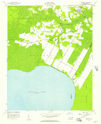
1954 · Creswell
USGS Topo · 1:24,000