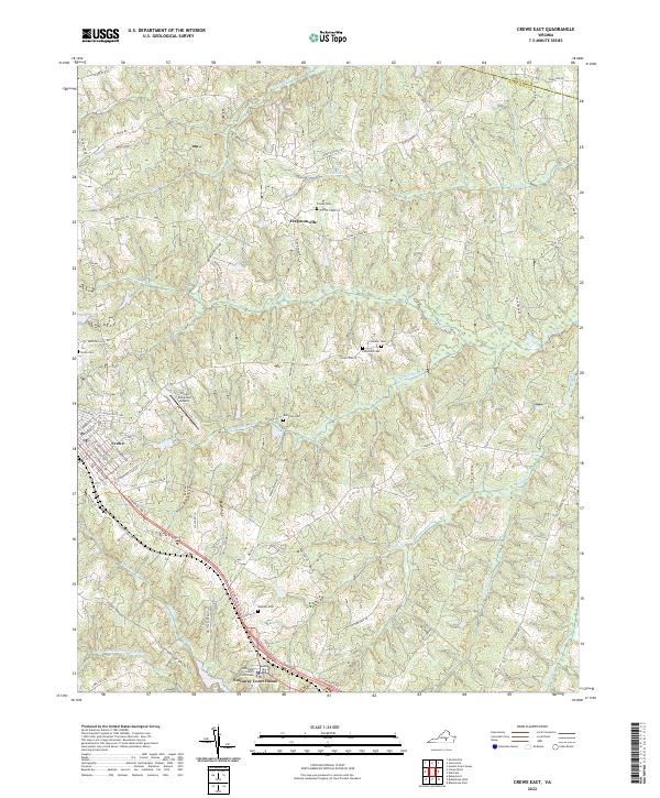
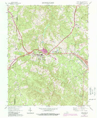
2022 Map of Crewe East
USGS Topo · Published 2022About this map
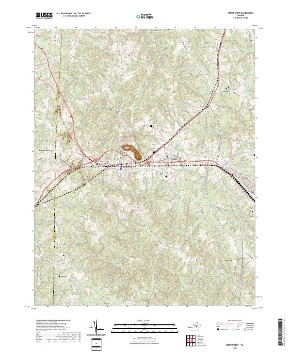
The Nottoway County Courthouse and the small seat of Nottoway Court House anchor the southern portion of this landscape, where the administrative heart of the county meets the drainage of the Little Nottoway River. To the west, the town of Crewe displays a structured street grid including E Virginia Ave and E Tennessee Ave, situated near the Crewe Municipal Airport. The terrain is defined by a dense network of branching creek systems, such as Deep Cr, Winningham Cr, and Woody Cr, which carve through the land between the historic communities. Local family history is preserved in several small burial grounds scattered across the rural tracts, including Blendon Cem, Robinson Cem, and Lunsford Cem. Northward, the settlement of Fergusonville sits near the crossing of Mountain Hall Rd and Namozine Rd, illustrating the traditional intersection-based growth of Southside Virginia.
Find a feature on this map
64 named features on this map. Tap any name to fly to it.
Don’t see what you’re looking for? This feature index may not catch every label — zoom into the map to look around manually.
Map Details
Editions of this 2022 Crewe East Map
This is the sole edition of this map. No revisions or reprints were ever made.
Historical Maps of Crewe Through Time
11 maps found
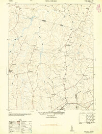
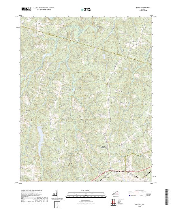
1950 Wellville
Nottoway County, VA
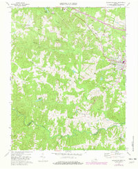
1966 Blackstone East
Nottoway County, VA
1966 Wellville
Nottoway County, VA
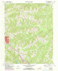
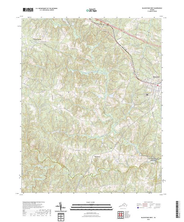
1968 Blackstone West
Nottoway County, VA
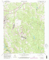
1968 Crewe East
Nottoway County, VA
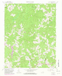
1968 Crewe West
Nottoway County, VA
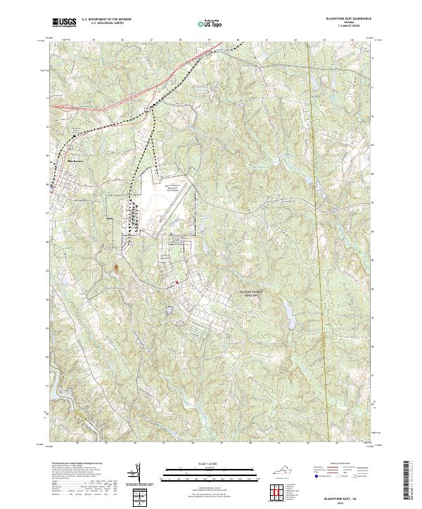
2022 Blackstone East
Nottoway County, VA
2022 Blackstone West
Nottoway County, VA
2022 Crewe East
Nottoway County, VA
2022 Crewe West
Nottoway County, VA
2022 Wellville
Nottoway County, VA