
1968 Map of Crewe West
USGS Topo · Published 1977About this map
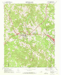
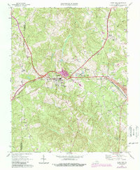
The railroad junction at Burkeville serves as the focal point of this late 1960s survey, where the tracks of the Norfolk And Western and the Southern railway lines intersect. This transit hub facilitated the development of nearby institutional and residential areas, including the expansive grounds of the Piedmont State Hospital and the municipal infrastructure of Crewe to the east. The landscape is deeply carved by the headwaters of the Little Nottoway River and Flat Creek, with many small family and church cemeteries, such as Hickory Grove Cem and Sunset Hill Cem, marking the rural parcels between the larger settlements.
Find a feature on this map
34 named features on this map. Tap any name to fly to it.
Don’t see what you’re looking for? This feature index may not catch every label — zoom into the map to look around manually.
Map Details
Editions of this 1968 Crewe West Map
3 editions found
Other maps of this area

1891 · Farmville
USGS Topo · 1:125,000

1893 · Farmville
USGS Topo · 1:125,000

1947 · Roanoke
USGS Topo · 1:250,000

1958 · Farmville
USGS Topo · 1:62,500

1958 · Jetersville
USGS Topo · 1:62,500

1958 · Crewe
USGS Topo · 1:62,500

1958 · Keysville
USGS Topo · 1:62,500

1959 · Roanoke
USGS Topo · 1:250,000

1963 · Roanoke
USGS Topo · 1:250,000
1968 · Deatonville
USGS Topo · 1:24,000