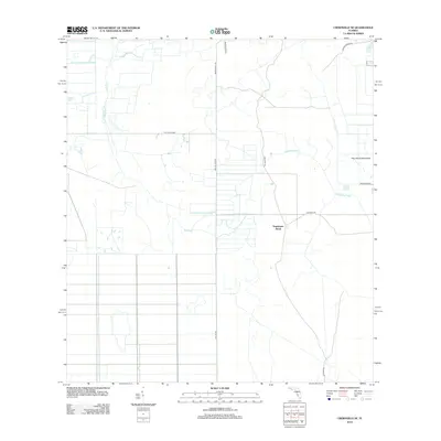
2012 Map of Crewsville SE
USGS Topo · Published 2012About this map
Negrotown Knoll rises as a prominent landmark in this interior Florida landscape, which is defined by a sparse network of ranch roads and slow-moving water. The area is intersected by long, straight utility and transport routes like Ten Mile Grade and Ben Hill Griffin, reflecting the large-scale agricultural and ranching operations of Highlands County. The natural drainage of Oak Creek and Fisheating Creek meanders through the terrain, occasionally giving way to distinctive landforms like Hog Island Hammock. This 2012 survey shows the modern rural configuration of the region, where legacy names such as Footman Trl and Skipper Ranch Rd suggest a history of cattle ranching and overland movement through the Florida scrub.
Find a feature on this map
11 named features on this map. Tap any name to fly to it.
Don’t see what you’re looking for? This feature index may not catch every label — zoom into the map to look around manually.
Map Details
Editions of this 2012 Crewsville SE Map
This is the sole edition of this map. No revisions or reprints were ever made.
Other maps of this area

1952 · Sebring
USGS Topo · 1:24,000

1953 · Lake June In Winter
USGS Topo · 1:24,000

1953 · Venus NW
USGS Topo · 1:24,000

1953 · Crewsville SE
USGS Topo · 1:24,000

1953 · Crewsville
USGS Topo · 1:24,000

1956 · Sweetwater
USGS Topo · 1:24,000

1956 · Crewsville SW
USGS Topo · 1:24,000

1956 · Fort Pierce
USGS Topo · 1:250,000

1957 · Long Island Marsh NW
USGS Topo · 1:24,000

1957 · Long Island Marsh NE
USGS Topo · 1:24,000