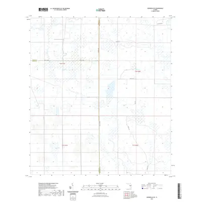
2021 Map of Crewsville SE
USGS Topo · Published 2021About this map
Highlands, Hardee, and DeSoto counties meet in this interior Florida landscape defined by expansive wetlands and cattle-country infrastructure. Extensive water bodies like Oak Creek Marsh and Negrotown Marsh dominate the central and eastern portions of the map, illustrating the natural drainage patterns that flow toward Fisheating Cr. The low-lying terrain is interspersed with named landmarks such as Long Point Marsh, which sit alongside a network of rural routes and grades.
Find a feature on this map
18 named features on this map. Tap any name to fly to it.
Don’t see what you’re looking for? This feature index may not catch every label — zoom into the map to look around manually.
Map Details
Editions of this 2021 Crewsville SE Map
This is the sole edition of this map. No revisions or reprints were ever made.
Other maps of this area

1952 · Sebring
USGS Topo · 1:24,000

1953 · Lake June In Winter
USGS Topo · 1:24,000

1953 · Venus NW
USGS Topo · 1:24,000

1953 · Crewsville SE
USGS Topo · 1:24,000

1953 · Crewsville
USGS Topo · 1:24,000

1956 · Sweetwater
USGS Topo · 1:24,000

1956 · Crewsville SW
USGS Topo · 1:24,000

1956 · Fort Pierce
USGS Topo · 1:250,000

1957 · Long Island Marsh NW
USGS Topo · 1:24,000

1957 · Long Island Marsh NE
USGS Topo · 1:24,000