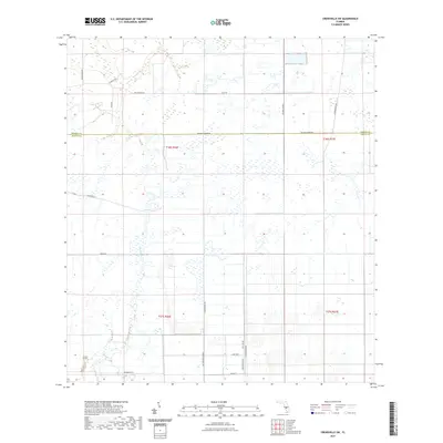
2021 Map of Crewsville SW
USGS Topo · Published 2021About this map
The border of Hardee and DeSoto Counties runs through this modern landscape defined by intensive agricultural grids and marshy wetlands. This area of central Florida is drained by the waters of Joshua Creek and Fish Branch, which meander through a series of sectioned plots and drainage ditches. The map reveals a highly structured road system likely serving the region's citrus groves or cattle ranching, including long straightaways like Ten Mile Grade Rd and Four Mile Grade. Named local corridors such as Ed Douglas Rd and Scarborough Rd suggest family ties to the land's history. Settlement is sparse, with small clusters of structures found primarily along NE Mercer St and near the southern edge on Washington St, reflecting the rural, industrial nature of the inland Florida peninsula in the early twenty-first century.
Find a feature on this map
25 named features on this map. Tap any name to fly to it.
Don’t see what you’re looking for? This feature index may not catch every label — zoom into the map to look around manually.
Map Details
Editions of this 2021 Crewsville SW Map
This is the sole edition of this map. No revisions or reprints were ever made.
Other maps of this area

1953 · Crewsville SE
USGS Topo · 1:24,000

1953 · Crewsville
USGS Topo · 1:24,000

1956 · Gardner
USGS Topo · 1:24,000

1956 · Sweetwater
USGS Topo · 1:24,000

1956 · Zolfo Springs
USGS Topo · 1:24,000

1956 · Crewsville SW
USGS Topo · 1:24,000

1956 · Fort Pierce
USGS Topo · 1:250,000

1957 · Long Island Marsh NW
USGS Topo · 1:24,000

1957 · Arcadia
USGS Topo · 1:24,000

1957 · Long Island Marsh NE
USGS Topo · 1:24,000