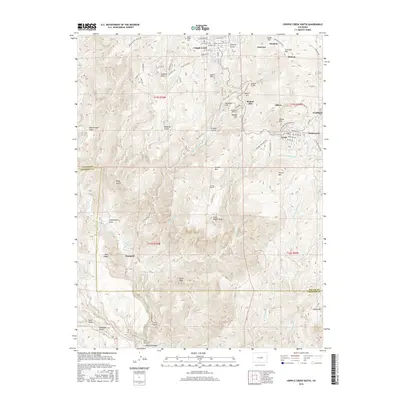
2016 Map of Cripple Creek South
USGS Topo · Published 2016About this map
Cripple Creek and the neighboring city of Victor anchor the northern landscape of this survey, reflecting the enduring presence of this famous Colorado mining district. The terrain is marked by the complex industrial and social history of the region, visible in settlements like Elkton, Goldfield, and Midway. To the west, Mount Pisgah Cem overlooks the valley, while the drainage of Cripple Cr and Wilson Cr carves through the high elevations. Subterranean engineering is notable here, with the Roosevelt Tunnel and Carlton Tunnel cutting through the granite to dewater the district's deep gold mines. Further south, the map transitions into the more open country near Marigold and the steep walls of Helena Canyon, illustrating the shift from the dense urban-industrial corridors of Poverty Gulch and Globe Hill toward the drainage of Fourmile Cr along the Teller and Fremont county line.
Find a feature on this map
87 named features on this map. Tap any name to fly to it.
Don’t see what you’re looking for? This feature index may not catch every label — zoom into the map to look around manually.
Map Details
Editions of this 2016 Cripple Creek South Map
This is the sole edition of this map. No revisions or reprints were ever made.
Other maps of this area
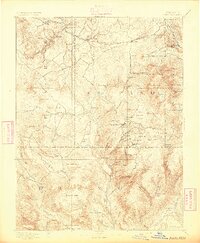
1894 · Pikes Peak
USGS Topo · 1:125,000
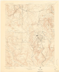
1901 · Pikes Peak
USGS Topo · 1:125,000
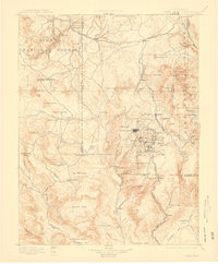
1901 · Pikes Peak
USGS Topo · 1:62,500
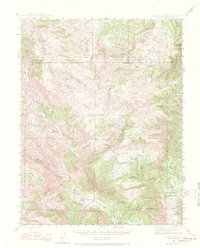
1942 · Cover Mtn.
USGS Topo · 1:62,500
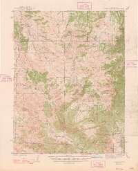
1948 · Cover Mtn.
USGS Topo · 1:62,500
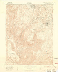
1951 · Cripple Creek South
USGS Topo · 1:24,000
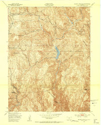
1951 · Big Bull Mountain
USGS Topo · 1:24,000
1951 · Pikes Peak
USGS Topo · 1:24,000
1951 · Cripple Creek North
USGS Topo · 1:24,000
1954 · Phantom Canyon
USGS Topo · 1:24,000