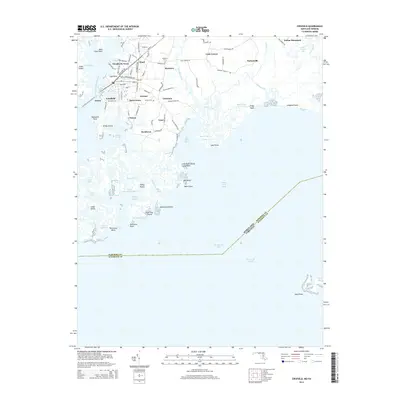
2014 Map of Crisfield
USGS Topo · Published 2014About this map
Crisfield stands as the primary hub on this map of the Lower Eastern Shore, where the intricate maritime landscape of the Little Annemessex River meets the Chesapeake Bay. The settlement pattern follows a dense network of neighborhoods including Sackertown, Lawsonia, and Byrdtown, reflecting the region's deep ties to the seafood industry and bayside commerce. Local genealogy and community landmarks are anchored by sites such as Phoenix Church, Mariners Cem, and Asbury Cem, which dot the transition from town to tidal marsh.
Find a feature on this map
106 named features on this map. Tap any name to fly to it.
Don’t see what you’re looking for? This feature index may not catch every label — zoom into the map to look around manually.
Map Details
Editions of this 2014 Crisfield Map
This is the sole edition of this map. No revisions or reprints were ever made.
Other maps of this area

1903 · Crisfield
USGS Topo · 1:62,500

1903 · Deal Island
USGS Topo · 1:62,500

1920 · Crisfield
USGS Topo · 1:62,500

1942 · Chesconessex
USGS Topo · 1:31,680

1942 · Terrapin Sand Point
USGS Topo · 1:24,000

1942 · Great Fox Island
USGS Topo · 1:24,000

1942 · Marion
USGS Topo · 1:24,000

1942 · Kingston
USGS Topo · 1:24,000

1942 · Tangier Island
USGS Topo · 1:24,000

1942 · Saxis
USGS Topo · 1:24,000