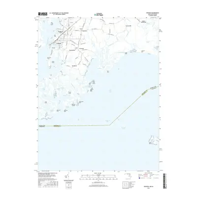
2016 Map of Crisfield
USGS Topo · Published 2016About this map
Crisfield and its neighboring waterside settlements occupy the intricate marshlands and peninsulas of Somerset County, where the Little Annemessex River meets the Chesapeake Bay. The map documents a cluster of distinct local communities, including Sackertown, Lawsonia, and Byrdtown, which are tied together by coastal roads like Byrdtown Rd and S Somerset Ave. The landscape is defined by its tidal geography, featuring extensive wetlands such as Lawson Marsh and Ware Point Marsh, alongside numerous guts and ponds that illustrate the region's historical reliance on the water.
Find a feature on this map
89 named features on this map. Tap any name to fly to it.
Don’t see what you’re looking for? This feature index may not catch every label — zoom into the map to look around manually.
Map Details
Editions of this 2016 Crisfield Map
This is the sole edition of this map. No revisions or reprints were ever made.
Other maps of this area

1903 · Crisfield
USGS Topo · 1:62,500

1903 · Deal Island
USGS Topo · 1:62,500

1920 · Crisfield
USGS Topo · 1:62,500

1942 · Chesconessex
USGS Topo · 1:31,680

1942 · Terrapin Sand Point
USGS Topo · 1:24,000

1942 · Great Fox Island
USGS Topo · 1:24,000

1942 · Marion
USGS Topo · 1:24,000

1942 · Kingston
USGS Topo · 1:24,000

1942 · Tangier Island
USGS Topo · 1:24,000

1942 · Saxis
USGS Topo · 1:24,000