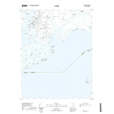
2019 Map of Crisfield
USGS Topo · Published 2019About this map
The coastal seafood center of Crisfield serves as the focal point for this survey of the Somerset County shoreline and its intricate network of marshes and guts. Smaller settlements like Lawsonia, Sackertown, and Byrdtown are clustered along the inlets, reflecting a community traditionally tied to the rhythms of the Chesapeake Bay. The map highlights the town's geography from the sheltered Somers Cove to the expansive Janes Island, while land-based genealogy is preserved through sites like Asbury Methodist Cem and Mariners Methodist Cem. The southern reach of the map documents the Maryland Virginia state line as it cuts through the open waters and marshy islands near Ape Hole Creek and Jenkins Creek. This landscape is defined by the shifting boundary between land and water, where named guts like Crooked Creek Gut and East Creek Gut navigate the tidal flats of Ware Point Marsh.
Find a feature on this map
101 named features on this map. Tap any name to fly to it.
Don’t see what you’re looking for? This feature index may not catch every label — zoom into the map to look around manually.
Map Details
Editions of this 2019 Crisfield Map
This is the sole edition of this map. No revisions or reprints were ever made.
Other maps of this area

1903 · Crisfield
USGS Topo · 1:62,500

1903 · Deal Island
USGS Topo · 1:62,500

1920 · Crisfield
USGS Topo · 1:62,500

1942 · Chesconessex
USGS Topo · 1:31,680

1942 · Terrapin Sand Point
USGS Topo · 1:24,000

1942 · Great Fox Island
USGS Topo · 1:24,000

1942 · Marion
USGS Topo · 1:24,000

1942 · Kingston
USGS Topo · 1:24,000

1942 · Tangier Island
USGS Topo · 1:24,000

1942 · Saxis
USGS Topo · 1:24,000