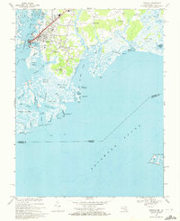
1968 Map of Crisfield
USGS Topo · Published 1972About this map
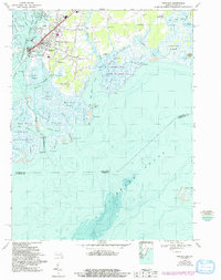
The seafood capital of Crisfield dominates this late-1960s coastal survey, revealing a landscape defined by its intricate relationship with Pocomoke Sound and the Annemessex River. The town's maritime infrastructure is prominent, including the U S Coast Guard Station at Somers Cove and the sprawling Sewage Disposal works. Beyond the main settlement, a series of smaller residential pockets such as Mariners, Lawsonia, Sackertown, and Byrdtown line the roads leading toward the marshes.
Find a feature on this map
74 named features on this map. Tap any name to fly to it.
Don’t see what you’re looking for? This feature index may not catch every label — zoom into the map to look around manually.
Map Details
Editions of this 1968 Crisfield Map
5 editions found
Other maps of this area

1903 · Crisfield
USGS Topo · 1:62,500

1903 · Deal Island
USGS Topo · 1:62,500

1920 · Crisfield
USGS Topo · 1:62,500

1942 · Chesconessex
USGS Topo · 1:31,680

1942 · Terrapin Sand Point
USGS Topo · 1:24,000

1942 · Great Fox Island
USGS Topo · 1:24,000

1942 · Marion
USGS Topo · 1:24,000

1942 · Kingston
USGS Topo · 1:24,000

1942 · Tangier Island
USGS Topo · 1:24,000

1942 · Saxis
USGS Topo · 1:24,000