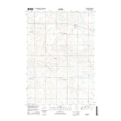
2015 Map of Crocker
USGS Topo · Published 2015About this map
Coteau des Prairies, a vast glacial upland, dominates the topography of this South Dakota landscape. The small settlement of Crocker sits at a grid of local roads including 5th Ave and 157th St. This area is defined by its numerous prairie potholes and wetlands, including Twin Sloughs, Mallard Slough, and Round Lake, which are characteristic of the region's drainage patterns. For those researching local heritage, the Saint Thomas Cem is a primary landmark situated south of the town center. The map's layout follows the Public Land Survey System, shown by township lines such as t119n r58w and t118n r58w. The landscape is etched with a network of section roads like 158th St and 162nd St, illustrating the enduring agricultural structure of Clark County.
Find a feature on this map
22 named features on this map. Tap any name to fly to it.
Don’t see what you’re looking for? This feature index may not catch every label — zoom into the map to look around manually.
Map Details
Editions of this 2015 Crocker Map
This is the sole edition of this map. No revisions or reprints were ever made.
Other maps of this area

1953 · Milbank
USGS Topo · 1:250,000

1953 · Watertown
USGS Topo · 1:250,000

1958 · Milbank
USGS Topo · 1:250,000

1958 · Watertown
USGS Topo · 1:250,000
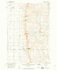
1958 · Crandall
USGS Topo · 1:24,000
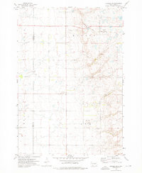
1973 · Crocker SW
USGS Topo · 1:24,000

1973 · Lily
USGS Topo · 1:24,000

1973 · Bradley
USGS Topo · 1:24,000

1973 · Lone Tree Lake
USGS Topo · 1:24,000
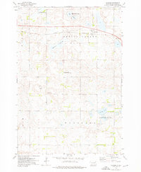
1973 · Crocker
USGS Topo · 1:24,000