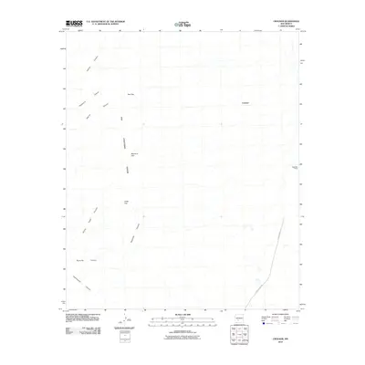
2010 Map of Crocker
USGS Topo · Published 2010About this map
The Fra Cristobal Range dominates the western portion of this Sierra County landscape, where the terrain is defined by a series of prominent gaps and deep drainage systems. The map captures the remote settlement of Crocker and the Deep Well Ranch to the east, connected to the wider region by County Road A-13. This high-desert environment is carved by numerous seasonal watercourses, including Hellion Canyon, Hackberry Canyon, and Walnut Canyon.
Find a feature on this map
13 named features on this map. Tap any name to fly to it.
Don’t see what you’re looking for? This feature index may not catch every label — zoom into the map to look around manually.
Map Details
Editions of this 2010 Crocker Map
This is the sole edition of this map. No revisions or reprints were ever made.
Other maps of this area

1916 · Salinas Peak
USGS Topo · 1:125,000

1948 · Sowell
USGS Topo · 1:62,500

1948 · Malpais Well
USGS Topo · 1:62,500

1954 · Tularosa
USGS Topo · 1:250,000

1958 · Tularosa
USGS Topo · 1:250,000

1958 · Elephant Butte
USGS Topo · 1:24,000

1959 · Engle
USGS Topo · 1:62,500

1961 · Black Bluffs
USGS Topo · 1:24,000

1961 · Crocker
USGS Topo · 1:24,000

1961 · Lava
USGS Topo · 1:24,000