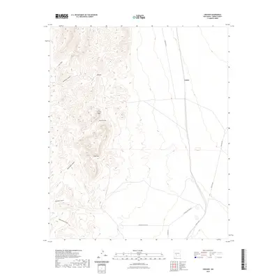
2023 Map of Crocker
USGS Topo · Published 2023About this map
The Fra Cristobal Range dominates this landscape, creating a series of dramatic geographic bottlenecks and transit routes through central New Mexico. These high ridges are punctuated by several named passes, most notably Red Gap, Chalk Gap, and the evocatively named Massacre Gap, which have historically dictated movement across this arid terrain. Below these peaks, the settlement of Crocker sits along a north-south transportation corridor that parallels the mountain front.
Find a feature on this map
16 named features on this map. Tap any name to fly to it.
Don’t see what you’re looking for? This feature index may not catch every label — zoom into the map to look around manually.
Map Details
Editions of this 2023 Crocker Map
This is the sole edition of this map. No revisions or reprints were ever made.
Other maps of this area

1916 · Salinas Peak
USGS Topo · 1:125,000

1948 · Sowell
USGS Topo · 1:62,500

1948 · Malpais Well
USGS Topo · 1:62,500

1954 · Tularosa
USGS Topo · 1:250,000

1958 · Tularosa
USGS Topo · 1:250,000

1958 · Elephant Butte
USGS Topo · 1:24,000

1959 · Engle
USGS Topo · 1:62,500

1961 · Black Bluffs
USGS Topo · 1:24,000

1961 · Crocker
USGS Topo · 1:24,000

1961 · Lava
USGS Topo · 1:24,000