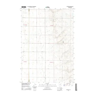
2015 Map of Crocker SW
USGS Topo · Published 2015About this map
The Coteau des Prairies plateau dominates this portion of the eastern South Dakota plains along the border of Spink and Clark Counties. This glacial upland rises distinctly above the surrounding prairie, influencing the drainage patterns and the strict section-line grid of the region's rural road network. The landscape is defined by the intersection of north-south corridors like 414th Ave and east-west routes such as 163rd St, which provide access to the various depressions and topographic rises characteristic of the Coteau's drift-covered surface. While the map is devoid of concentrated town centers, the intricate parceling within Township 119 North, Range 59 West and surrounding townships illustrates the enduring legacy of the Public Land Survey System in organizing this agricultural frontier.
Find a feature on this map
21 named features on this map. Tap any name to fly to it.
Don’t see what you’re looking for? This feature index may not catch every label — zoom into the map to look around manually.
Map Details
Editions of this 2015 Crocker SW Map
This is the sole edition of this map. No revisions or reprints were ever made.
Other maps of this area

1894 · Conde
USGS Topo · 1:62,500

1895 · Byron
USGS Topo · 1:125,000

1895 · Aberdeen
USGS Topo · 1:125,000

1953 · Milbank
USGS Topo · 1:250,000

1953 · Huron
USGS Topo · 1:250,000

1953 · Watertown
USGS Topo · 1:250,000

1954 · Aberdeen
USGS Topo · 1:250,000

1954 · Huron
USGS Topo · 1:250,000

1956 · Aberdeen
USGS Topo · 1:250,000

1958 · Milbank
USGS Topo · 1:250,000