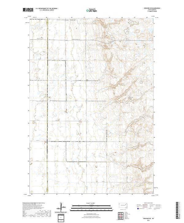
2021 Map of Crocker SW
USGS Topo · Published 2021About this map
The Coteau des Prairies, a vast glacial plateau, defines the topography of this eastern South Dakota landscape. This map captures the intersection of the Spink Co Clark Co border, where the rectangular survey system creates a rigid grid of section lines and gravel roads across the undulating prairie. The primary east-west artery is S Dakota Highway 20, which traverses the northern reaches of the quadrangle. The area is characterized by the high-elevation wetland complexes and numerous small basins typical of this geographic region, often referred to as the "hills of the prairies." Local transit relies on a network of rural routes including Co Rd 1 and 412th Ave, which connect the agricultural homesteads and section corners that form the backbone of the local community and land management.
Find a feature on this map
21 named features on this map. Tap any name to fly to it.
Don’t see what you’re looking for? This feature index may not catch every label — zoom into the map to look around manually.
Map Details
Editions of this 2021 Crocker SW Map
This is the sole edition of this map. No revisions or reprints were ever made.
Other maps of this area

1894 · Conde
USGS Topo · 1:62,500

1895 · Byron
USGS Topo · 1:125,000

1895 · Aberdeen
USGS Topo · 1:125,000

1953 · Milbank
USGS Topo · 1:250,000

1953 · Huron
USGS Topo · 1:250,000

1953 · Watertown
USGS Topo · 1:250,000

1954 · Aberdeen
USGS Topo · 1:250,000

1954 · Huron
USGS Topo · 1:250,000

1956 · Aberdeen
USGS Topo · 1:250,000

1958 · Milbank
USGS Topo · 1:250,000