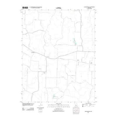
2011 Map of Crockerville
USGS Topo · Published 2011About this map
Crockerville sits at the heart of this Missouri landscape, where the rural road network branches out through a terrain defined by the winding paths of Haw Creek and Big Buffalo Creek. The map documents a predominantly agrarian community in 2011, characterized by long-established landmarks and family burial grounds. Local genealogists will find significant value in the distribution of regional cemeteries, including the Old Stover Cemetery near the intersection of Rockland Drive and Blackberry Patch Road, as well as the Christ Lutheran Cemetery and Saint Johns Cemetery. In the southern portion of the quadrangle, the waters of Lake Placid provide a distinct recreational or geographic point of interest. The area's transition from early settlement into the modern era is marked by the overlay of numbered roads like Highway FF against historic creek basins.
Find a feature on this map
44 named features on this map. Tap any name to fly to it.
Don’t see what you’re looking for? This feature index may not catch every label — zoom into the map to look around manually.
Map Details
Editions of this 2011 Crockerville Map
This is the sole edition of this map. No revisions or reprints were ever made.
Other maps of this area

1887 · Sedalia
USGS Topo · 1:125,000

1887 · Warsaw
USGS Topo · 1:125,000

1888 · Versailles
USGS Topo · 1:125,000

1888 · Boonville
USGS Topo · 1:125,000

1893 · Versailles
USGS Topo · 1:125,000

1894 · Warsaw
USGS Topo · 1:125,000

1894 · Sedalia
USGS Topo · 1:125,000

1904 · Gravois Mills
USGS Topo · 1:62,500

1935 · Proctor Creek
USGS Topo · 1:24,000

1935 · Boylers Mill
USGS Topo · 1:24,000