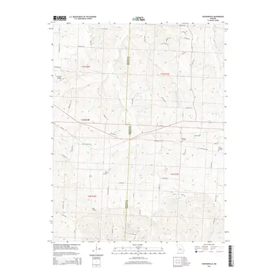
2014 Map of Crockerville
USGS Topo · Published 2014About this map
Crockerville sits near the heart of this Missouri landscape, where the boundary between Benton and Morgan counties follows the ridgelines and stream valleys of the northern Ozarks. The area is defined by a dendritic drainage pattern, with Haw Creek and Big Buffalo Creek carving deep into the terrain. For family researchers, several notable burial sites are recorded, including the Old Stover Cemetery and the Brauersville Lutheran Cemetery.
Find a feature on this map
57 named features on this map. Tap any name to fly to it.
Don’t see what you’re looking for? This feature index may not catch every label — zoom into the map to look around manually.
Map Details
Editions of this 2014 Crockerville Map
This is the sole edition of this map. No revisions or reprints were ever made.
Other maps of this area

1887 · Sedalia
USGS Topo · 1:125,000

1887 · Warsaw
USGS Topo · 1:125,000

1888 · Versailles
USGS Topo · 1:125,000

1888 · Boonville
USGS Topo · 1:125,000

1893 · Versailles
USGS Topo · 1:125,000

1894 · Warsaw
USGS Topo · 1:125,000

1894 · Sedalia
USGS Topo · 1:125,000

1904 · Gravois Mills
USGS Topo · 1:62,500

1935 · Proctor Creek
USGS Topo · 1:24,000

1935 · Boylers Mill
USGS Topo · 1:24,000