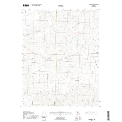
2017 Map of Crockerville
USGS Topo · Published 2017About this map
Crockerville and the western edge of Stover anchor this rural landscape along the Benton Co Morgan Co line in the mid-2010s. The region is defined by its deep drainages and creek systems, including Haw Cr, Gabriel Cr, and Indian Cr, which carve through the terrain to form landmarks like Pole Hollow. This survey is particularly valuable for genealogists, as it clearly identifies several denominational and community burial grounds such as Saint Johns Cem, Old Stover Cem, and the Brauersville Lutheran Cem further west. In the southern portion of the quadrangle, Lake Placid provides a notable water feature near Big Buffalo Cr. The road network, including State HWY A, HWY FF, and numerous family-named routes like Bockelman Rd and Rush Rd, illustrates the persistent rural settlement patterns that have shaped this portion of Missouri for generations.
Find a feature on this map
65 named features on this map. Tap any name to fly to it.
Don’t see what you’re looking for? This feature index may not catch every label — zoom into the map to look around manually.
Map Details
Editions of this 2017 Crockerville Map
This is the sole edition of this map. No revisions or reprints were ever made.
Other maps of this area

1887 · Sedalia
USGS Topo · 1:125,000

1887 · Warsaw
USGS Topo · 1:125,000

1888 · Versailles
USGS Topo · 1:125,000

1888 · Boonville
USGS Topo · 1:125,000

1893 · Versailles
USGS Topo · 1:125,000

1894 · Warsaw
USGS Topo · 1:125,000

1894 · Sedalia
USGS Topo · 1:125,000

1904 · Gravois Mills
USGS Topo · 1:62,500

1935 · Proctor Creek
USGS Topo · 1:24,000

1935 · Boylers Mill
USGS Topo · 1:24,000