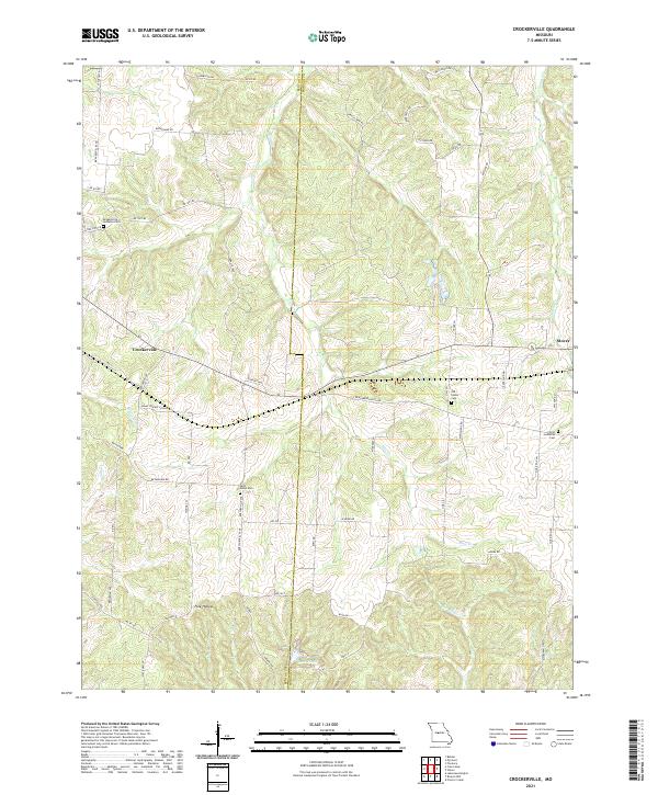
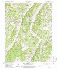
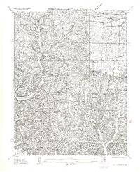
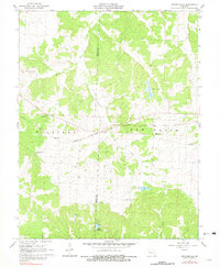
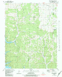
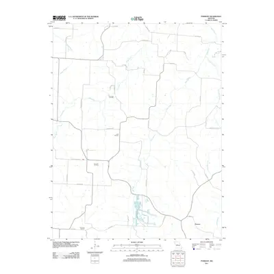
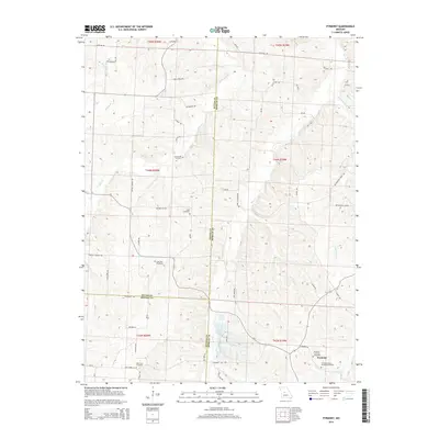
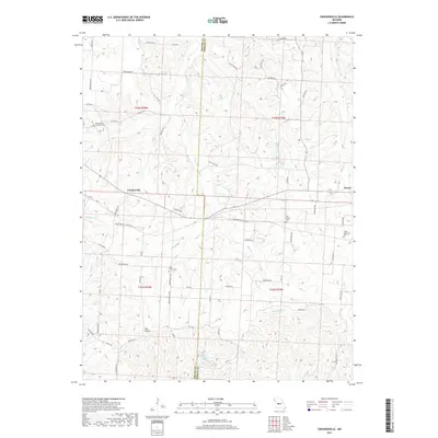
2021 Map of Crockerville
USGS Topo · Published 2021About this map
Crockerville and the western edge of Stover anchor this rural landscape along the border of Benton and Morgan Counties. The region is defined by a dense network of creek drainages, including Haw Cr, Gabriel Cr, and Williams Cr, which carve through the terrain toward Lake Placid in the south. This modern survey reflects a settlement pattern rooted in small agricultural communities and local roads like Balke Prairie School Rd and Boeschenville Ave.
Find a feature on this map
61 named features on this map. Tap any name to fly to it.
Don’t see what you’re looking for? This feature index may not catch every label — zoom into the map to look around manually.
Map Details
Editions of this 2021 Crockerville Map
This is the sole edition of this map. No revisions or reprints were ever made.
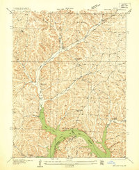
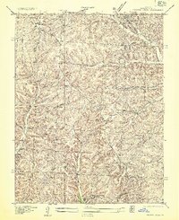
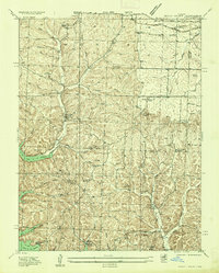
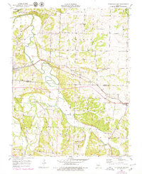
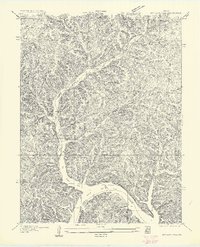
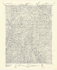
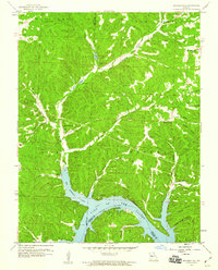
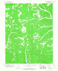
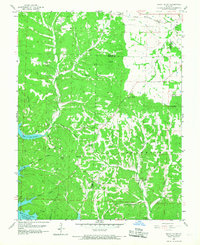
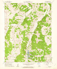
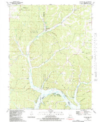
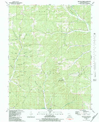
Historical Maps of Stover Through Time
44 maps found
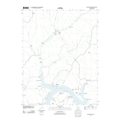
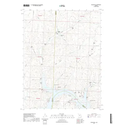
1935 Boylers Mill
Morgan County, MO
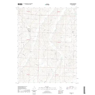
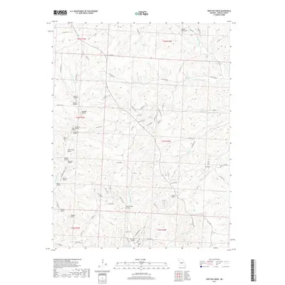
1935 Proctor Creek
Morgan County, MO
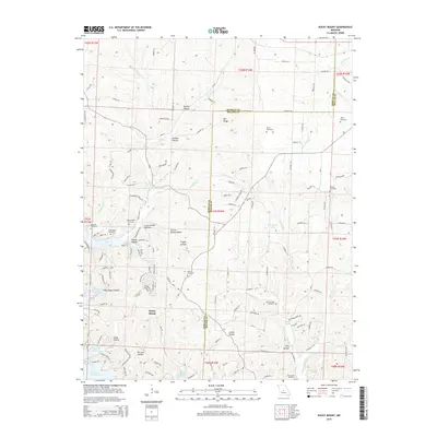
1935 Rocky Mount
Morgan County, MO
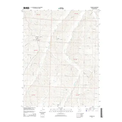
1953 Florence
Morgan County, MO
1953 Otterville East
Morgan County, MO
1957 Boylers Mill
Morgan County, MO
1957 Proctor Creek
Morgan County, MO
1957 Rocky Mount
Morgan County, MO
1959 Boylers Mill
Morgan County, MO
1959 Proctor Creek
Morgan County, MO
1959 Rocky Mount
Morgan County, MO
1961 Crockerville
Morgan County, MO
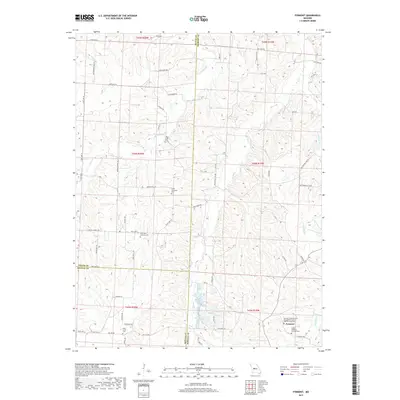
1961 Pyrmont
Morgan County, MO
1983 Boylers Mill
Morgan County, MO
1983 Proctor Creek
Morgan County, MO
1983 Rocky Mount
Morgan County, MO
2011 Boylers Mill
Morgan County, MO
2011 Crockerville
Morgan County, MO
2011 Florence
Morgan County, MO

2011 Otterville East
Morgan County, MO

2011 Proctor Creek
Morgan County, MO
2011 Pyrmont
Morgan County, MO
2011 Rocky Mount
Morgan County, MO
2014 Boylers Mill
Morgan County, MO
2014 Crockerville
Morgan County, MO
2014 Pyrmont
Morgan County, MO
2015 Florence
Morgan County, MO

2015 Otterville East
Morgan County, MO
2015 Proctor Creek
Morgan County, MO
2015 Rocky Mount
Morgan County, MO
2017 Boylers Mill
Morgan County, MO
2017 Crockerville
Morgan County, MO
2017 Florence
Morgan County, MO

2017 Otterville East
Morgan County, MO
2017 Proctor Creek
Morgan County, MO
2017 Pyrmont
Morgan County, MO
2017 Rocky Mount
Morgan County, MO
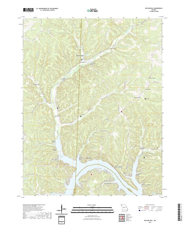
2021 Boylers Mill
Morgan County, MO
2021 Crockerville
Morgan County, MO
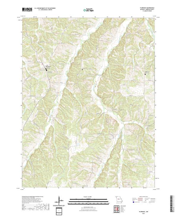
2021 Florence
Morgan County, MO
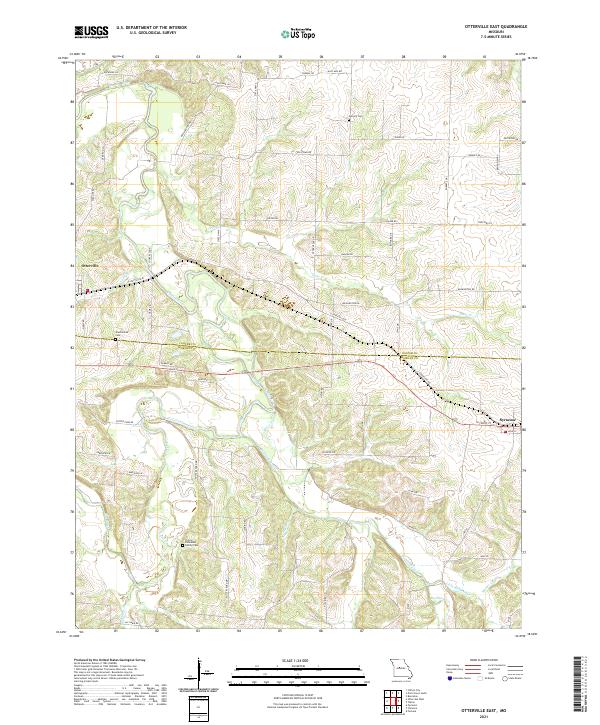
2021 Otterville East
Morgan County, MO
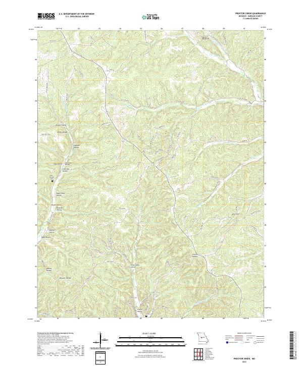
2021 Proctor Creek
Morgan County, MO
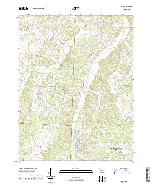
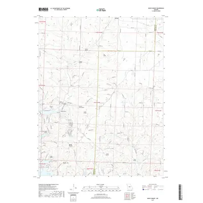
2021 Pyrmont
Morgan County, MO
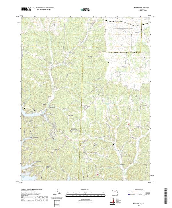
2021 Rocky Mount
Morgan County, MO