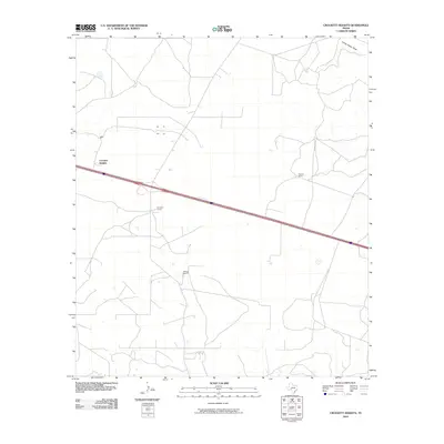
2010 Map of Crockett Heights
USGS Topo · Published 2010About this map
Crockett Heights serves as the focal point of this West Texas landscape, where the expanse of Crockett County is defined by its long-standing ranching tradition. The 2010 survey shows a network of private homesteads and cattle operations, including Davidson Ranch, Wilkins Ranch, and Clayton Ranch, which are connected by a sparse grid of local roads and the dominant diagonal path of the interstate. Natural drainage is primarily represented by Turkey Roost Draw in the northeast, illustrating the arid hydrology typical of the Edwards Plateau. The settlement pattern remains largely unchanged from earlier decades, reflecting a rural economy centered on large-acreage land holdings and livestock production rather than urban expansion.
Find a feature on this map
5 named features on this map. Tap any name to fly to it.
Don’t see what you’re looking for? This feature index may not catch every label — zoom into the map to look around manually.
Map Details
Editions of this 2010 Crockett Heights Map
This is the sole edition of this map. No revisions or reprints were ever made.
Other maps of this area

1954 · Sonora
USGS Topo · 1:250,000

1958 · Sonora
USGS Topo · 1:250,000

1964 · Bailey Draw
USGS Topo · 1:24,000

1967 · Nolen Draw
USGS Topo · 1:24,000

1967 · Ozona
USGS Topo · 1:24,000

1967 · Baggett Ranch
USGS Topo · 1:24,000

1967 · Double Mill Draw SE
USGS Topo · 1:24,000

1967 · Ozona SE
USGS Topo · 1:24,000

1967 · Indio Hill
USGS Topo · 1:24,000

1967 · Crockett Heights
USGS Topo · 1:24,000