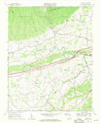
1968 Map of Crockett
USGS Topo · Published 1971About this map
Jefferson National Forest dominates the northern reaches of this Wythe County landscape, where Little Walker Mountain rises above the drainages of Stony Fork and Sally Run. The map illustrates a transitional era of transportation in Southwest Virginia, featuring the construction of the Interchange 20 and 4 Lane highway system paralleling the traditional route of the Norfolk and Western railway. This rail corridor serves as the anchor for rural communities like Groseclose and Crockett, while the Wytheville National Fish Hatchery No 1 marks a significant specialized land use near the South Fork of Reed Creek. Genealogists will find a high density of rural houses of worship, including Holy Advent Ch, New Bethel Ch, and Mt Ephraim Ch, which reflect the established social fabric of these valley settlements. The presence of Government Siding and a major Pipeline corridor further suggests the area's role in regional infrastructure and commerce during the late 1960s.
Find a feature on this map
48 named features on this map. Tap any name to fly to it.
Don’t see what you’re looking for? This feature index may not catch every label — zoom into the map to look around manually.
Map Details
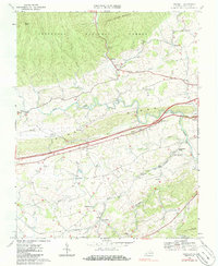
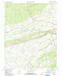
Editions of this 1968 Crockett Map
3 editions found
Other maps of this area

1887 · Pocahontas
USGS Topo · 1:125,000

1889 · Wytheville
USGS Topo · 1:125,000

1891 · Pocahontas
USGS Topo · 1:125,000

1892 · Wytheville
USGS Topo · 1:125,000

1894 · Pocahontas
USGS Topo · 1:125,000

1895 · Pocahontas
USGS Topo · 1:125,000

1930 · Speedwell
USGS Topo · 1:62,500

1931 · Rural Retreat
USGS Topo · 1:48,000

1935 · Cedar Springs
USGS Topo · 1:24,000
1935 · Garden Mountain
USGS Topo · 1:24,000