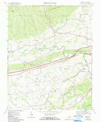
1968 Map of Crockett
USGS Topo · Published 1991About this map
The Norfolk and Western railroad corridor anchors the agricultural and industrial landscape of Wythe County in the late 1960s. Moving through the valley between Little Walker Mountain and Lick Mountain, the rail line connects the community of Crockett with various small crossroads and technical facilities. Notable among these is the Wytheville National Fish Hatchery No 1 and the Government Siding, illustrating the intersection of federal infrastructure with the local geography.
Find a feature on this map
44 named features on this map. Tap any name to fly to it.
Don’t see what you’re looking for? This feature index may not catch every label — zoom into the map to look around manually.
Map Details
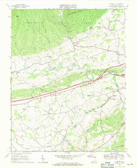
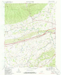
Editions of this 1968 Crockett Map
3 editions found
Other maps of this area

1887 · Pocahontas
USGS Topo · 1:125,000

1889 · Wytheville
USGS Topo · 1:125,000

1891 · Pocahontas
USGS Topo · 1:125,000

1892 · Wytheville
USGS Topo · 1:125,000

1894 · Pocahontas
USGS Topo · 1:125,000

1895 · Pocahontas
USGS Topo · 1:125,000

1930 · Speedwell
USGS Topo · 1:62,500

1931 · Rural Retreat
USGS Topo · 1:48,000

1935 · Cedar Springs
USGS Topo · 1:24,000
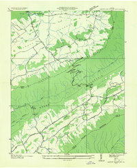
1935 · Garden Mountain
USGS Topo · 1:24,000