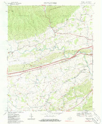
1968 Map of Crockett
USGS Topo · Published 1986About this map
The Norfolk and Western railway corridor defines the lower half of this landscape, connecting rural communities like Groseclose and Crockett during the late 1960s. The terrain transitions from the wooded slopes of the Jefferson National Forest and Little Walker Mountain in the north toward the agricultural valleys of Reed Creek. Religious life is well-documented through a dense concentration of local landmarks, including Mt Mitchell Ch, St Pauls Ch, and Holy Advent Ch. A unique industrial-scientific presence is found at the Wytheville National Fish Hatchery No 1, situated near Government Siding. The map illustrates the era's evolving transportation network, showing the modernization of major roadways labeled as 4 Lane highways cutting through historic settlements such as Blessing and Copenhagen.
Find a feature on this map
47 named features on this map. Tap any name to fly to it.
Don’t see what you’re looking for? This feature index may not catch every label — zoom into the map to look around manually.
Map Details
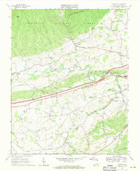
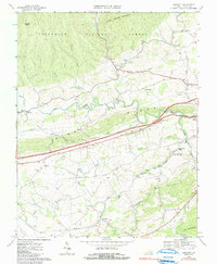
Editions of this 1968 Crockett Map
3 editions found
Other maps of this area

1887 · Pocahontas
USGS Topo · 1:125,000

1889 · Wytheville
USGS Topo · 1:125,000

1891 · Pocahontas
USGS Topo · 1:125,000

1892 · Wytheville
USGS Topo · 1:125,000

1894 · Pocahontas
USGS Topo · 1:125,000

1895 · Pocahontas
USGS Topo · 1:125,000

1930 · Speedwell
USGS Topo · 1:62,500

1931 · Rural Retreat
USGS Topo · 1:48,000

1935 · Cedar Springs
USGS Topo · 1:24,000
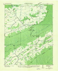
1935 · Garden Mountain
USGS Topo · 1:24,000