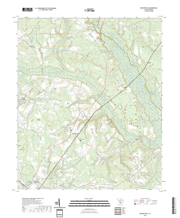
2024 Map of Crocketville
USGS Topo · Published 2024About this map
The Salkehatchie River and its intricate network of tributaries, including the extensive Whippy Swamp and Caw Caw Swamp, define the landscape of this Lowcountry region. The map reveals a pattern of dispersed rural settlements and historic family-named locations such as Crocketville, Miley, and Cleland Crossroads. These small communities are linked by a web of local routes like Old Salkehatchie Hwy and Mozzelle Hwy, which navigate around the dense wetlands and low-lying drainages like Calico Branch and Hog Branch.
Find a feature on this map
77 named features on this map. Tap any name to fly to it.
Don’t see what you’re looking for? This feature index may not catch every label — zoom into the map to look around manually.
Map Details
Editions of this 2024 Crocketville Map
This is the sole edition of this map. No revisions or reprints were ever made.
Other maps of this area

1918 · Varnville
USGS Topo · 1:62,500

1919 · Olar
USGS Topo · 1:62,500

1919 · Cummings
USGS Topo · 1:62,500

1919 · Lodge
USGS Topo · 1:62,500

1920 · Lodge
USGS Topo · 1:48,000

1921 · Lodge
USGS Topo · 1:62,500

1943 · Olar
USGS Topo · 1:62,500

1943 · Lodge
USGS Topo · 1:62,500

1943 · Orangeburg
USGS Topo · 1:125,000

1943 · Cummings
USGS Topo · 1:62,500