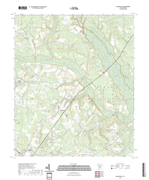
2024 Map of Crocketville
USGS Topo · Published 2024This historical map portrays the area of Crocketville in 2024, primarily covering Hampton as well as portions of Colleton County. Featuring a scale of 1:24000, this map provides a highly detailed snapshot of the terrain, roads, buildings, counties, and historical landmarks in the Crocketville region at the time. Published in 2024, it is the sole known edition of this map.
Map Details
Editions of this 2024 Crocketville Map
This is the sole edition of this map. No revisions or reprints were ever made.
Historical Maps of Moselle Through Time
12 maps found
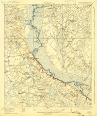
1919 Shirley
Hampton County, SC
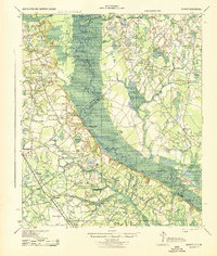
1943 Shirley
Hampton County, SC
1978 Brighton
Hampton County, SC
1978 Shirley
Hampton County, SC
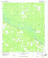
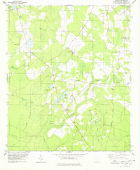
1988 Crocketville
Hampton County, SC
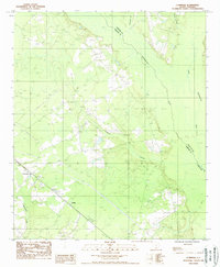
1988 Cummings
Hampton County, SC
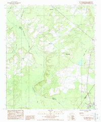
1988 Mc Phersonville
Hampton County, SC
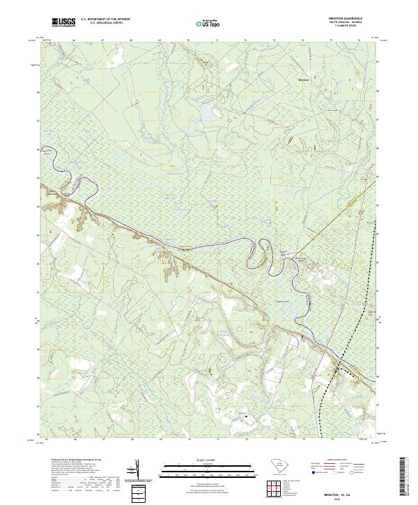
2024 Brighton
Hampton County, SC
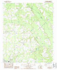
2024 Crocketville
Hampton County, SC
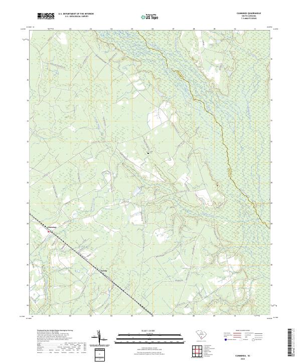
2024 Cummings
Hampton County, SC
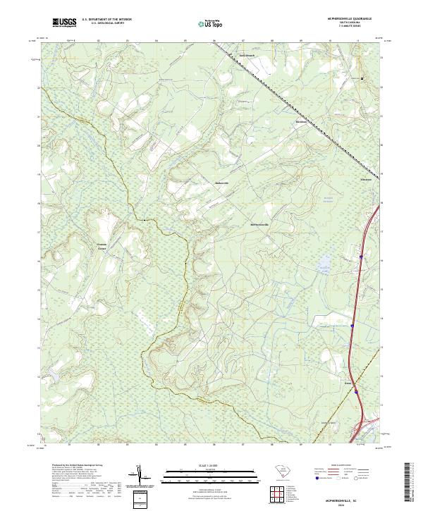
2024 McPhersonville
Hampton County, SC
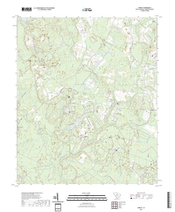
2024 Shirley
Hampton County, SC