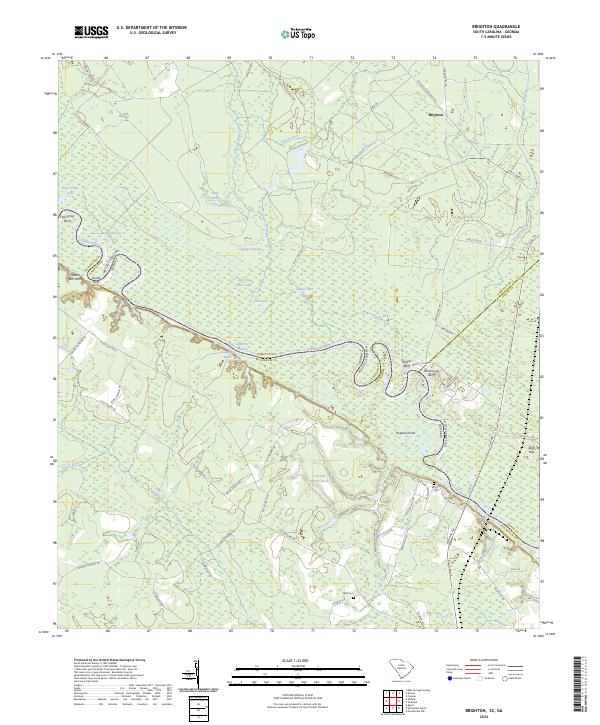
2024 Map of Brighton
USGS Topo · Published 2024About this map
The Savannah River meanders through this borderland between South Carolina and Georgia, defining a landscape of complex waterways and riverbank landforms. High ground along the river is marked by distinct features such as Stokes Bluff, Palichucola Bluff, and Hognose Point, which have long served as navigational and cultural landmarks in the Lowcountry. The interior of the quadrangle is dominated by the expansive Boggy Swamp and numerous inland water bodies including Fowl Claw Lake, Bluff Lake, and Lakeside Farms Pond.
Find a feature on this map
66 named features on this map. Tap any name to fly to it.
Don’t see what you’re looking for? This feature index may not catch every label — zoom into the map to look around manually.
Map Details
Editions of this 2024 Brighton Map
This is the sole edition of this map. No revisions or reprints were ever made.
Other maps of this area

1919 · Pineland
USGS Topo · 1:62,500

1919 · Shirley
USGS Topo · 1:62,500

1919 · Egypt
USGS Topo · 1:62,500

1920 · Hardeeville
USGS Topo · 1:62,500

1939 · Egypt
USGS Topo · 1:62,500

1943 · Pineland
USGS Topo · 1:62,500

1943 · Hardeeville
USGS Topo · 1:62,500

1943 · Egypt
USGS Topo · 1:62,500

1943 · Shirley
USGS Topo · 1:62,500

1947 · Savannah
USGS Topo · 1:250,000