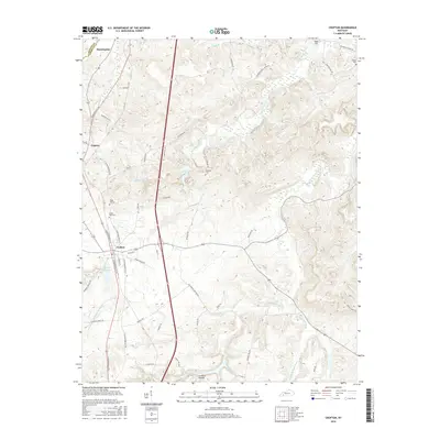
2016 Map of Crofton
USGS Topo · Published 2016About this map
Crofton serves as the primary hub in this portion of Christian County, where the convergence of N Madisonville St and S Old Madisonville St defines the local street grid. The town is flanked by essential water resources, most notably the Crofton Reservoir to its southwest and the branching headwaters of the Pond River system. The landscape is deeply etched by the West Fork Pond River and its various tributaries, such as McFarland Cr and Coal Cr, which wind through the varied elevations of the Pennyroyal Plateau.
Find a feature on this map
55 named features on this map. Tap any name to fly to it.
Don’t see what you’re looking for? This feature index may not catch every label — zoom into the map to look around manually.
Map Details
Editions of this 2016 Crofton Map
This is the sole edition of this map. No revisions or reprints were ever made.
Other maps of this area

1909 · Dawson Springs
USGS Topo · 1:48,000

1911 · Dawson Springs
USGS Topo · 1:62,500

1912 · Nortonville
USGS Topo · 1:62,500

1952 · Pleasant Green Hill
USGS Topo · 1:24,000

1952 · Kelly
USGS Topo · 1:24,000

1952 · Honey Grove
USGS Topo · 1:24,000

1952 · Crofton
USGS Topo · 1:24,000

1953 · Dawson Springs SE
USGS Topo · 1:24,000

1953 · Haleys Mill
USGS Topo · 1:24,000

1953 · Nortonville
USGS Topo · 1:24,000