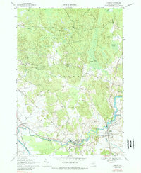
1966 Map of Croghan
USGS Topo · Published 1988About this map
Beaver River power and industry define this Lewis County landscape in the mid-1960s. The settlement of Beaver Falls sits as a primary hub, supported by the Beaver Falls Airport and the nearby Beaver River Sch. To the east, the village of Croghan serves as a local center, featuring several community landmarks including the Basselin Cem and St Stephens Cem. The map illustrates a transition from the cleared agricultural lands and small hamlets like Naumburg in the west to the dense woodlands of the State Forest Preserve that dominates the northern reaches.
Find a feature on this map
50 named features on this map. Tap any name to fly to it.
Don’t see what you’re looking for? This feature index may not catch every label — zoom into the map to look around manually.
Map Details
Editions of this 1966 Croghan Map
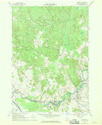
2 editions found
Other maps of this area

1902 · Carthage
USGS Topo · 1:62,500

1904 · Carthage
USGS Topo · 1:62,500

1911 · Antwerp
USGS Topo · 1:62,500

1911 · Lowville
USGS Topo · 1:62,500

1913 · Lowville
USGS Topo · 1:62,500

1913 · Lake Bonaparte
USGS Topo · 1:62,500

1916 · Lake Bonaparte
USGS Topo · 1:62,500

1943 · West Lowville
USGS Topo · 1:31,680

1943 · Carthage
USGS Topo · 1:31,680

1948 · Ogdensburg
USGS Topo · 1:250,000